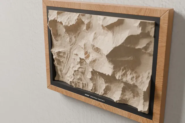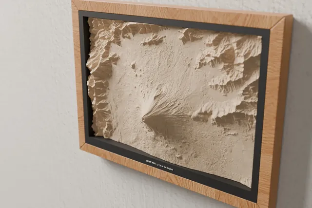
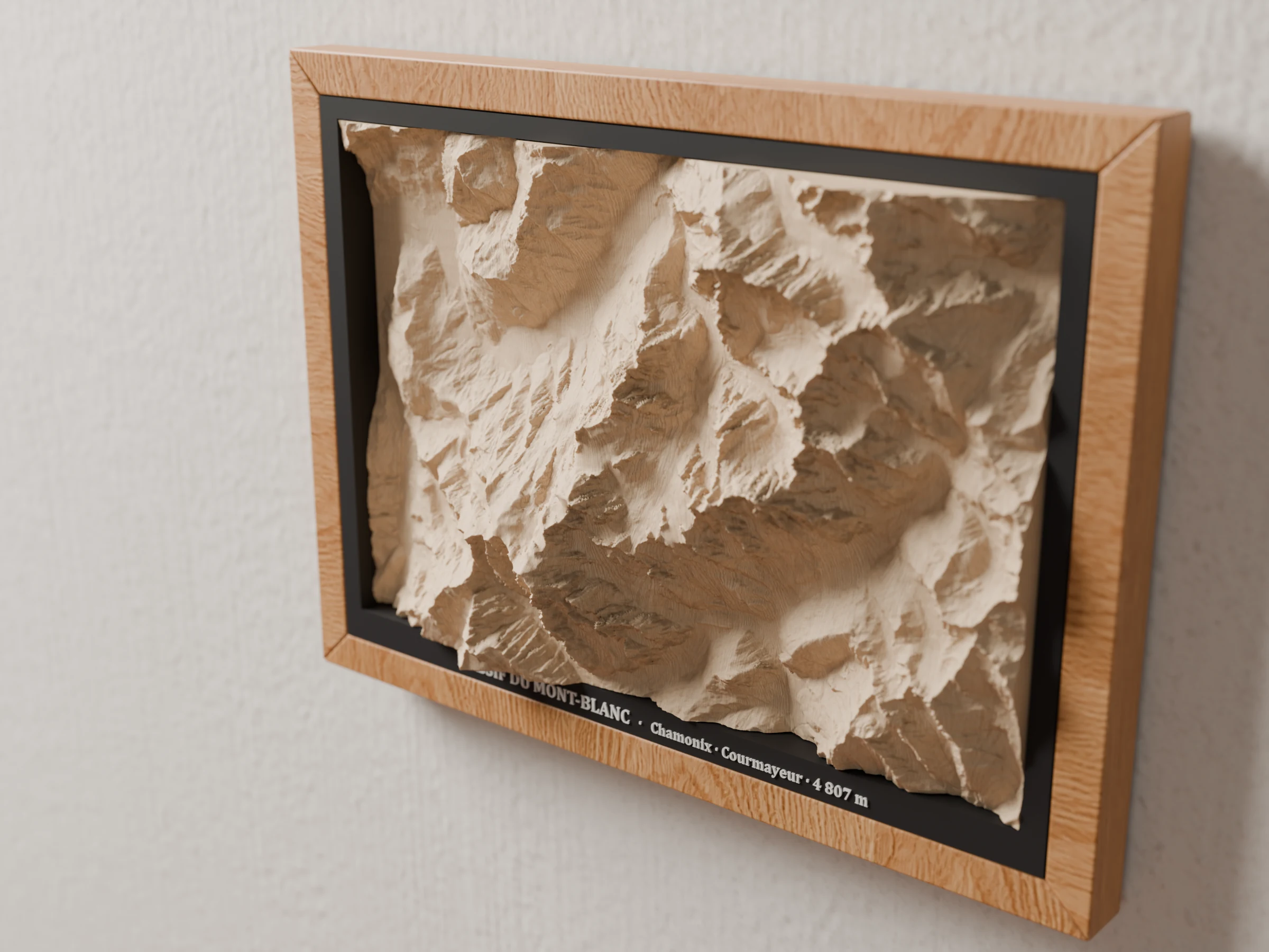
Light wood
A 15 mm moulding with visible grain that extends the wood of the map. The warm choice, for a living room or a chalet.
- A4 size · 31.8 × 23.1 cm
- Light-wood moulding, no glass
Home › Wooden maps › Mountain maps
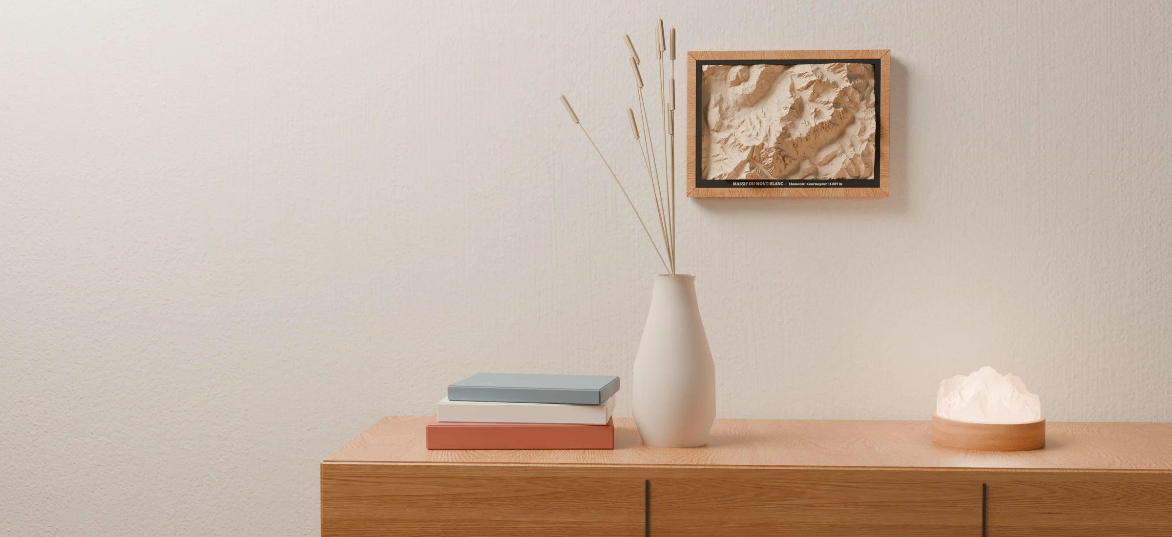
Mountain relief mapsThe real relief carved in a block of solid lime wood that rises out of a light or black wooden A4 frame, its name written in white below. Choose one of the workshop's massifs, or ask for your own.
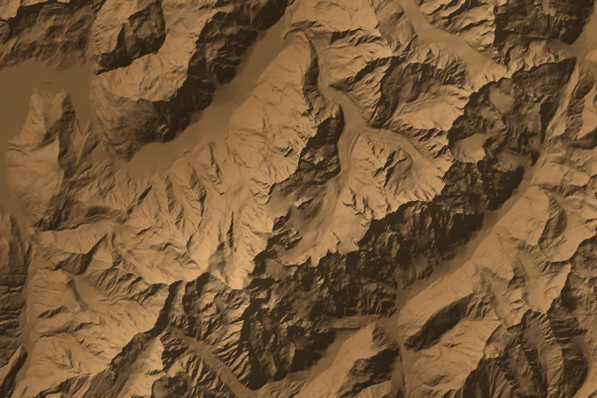
The terrain comes from official surveys: IGN LiDAR in France, swissALTI3D in Switzerland. Elevations are stretched across the full thickness of the block, up to 47 mm of relief.

A roughing pass with a flat end mill, then a finishing pass with a 0.5 mm tapered ball mill that follows every ridge. The lime wood's growth rings, cut through by the slopes, draw their own contour lines.
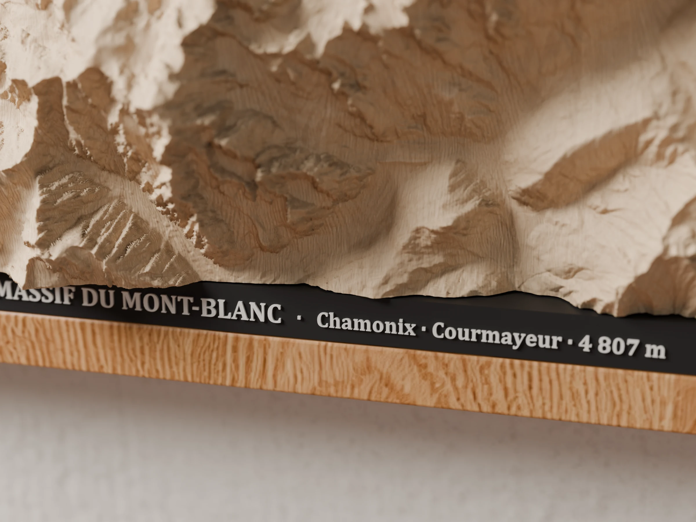
Printed in matte black in our workshop, it sits flush with the frame and carries the map's name in raised white letters; the block passes through it and rises out. No glass.
The lime-wood block starts at the back of an A4 frame and passes through a black mat set flush with the moulding: the relief stands more than 3 cm proud of the frame and casts its own shadows. The name of the massif is written in raised white letters below the mountain.
A 15 mm moulding with visible grain that extends the wood of the map. The warm choice, for a living room or a chalet.
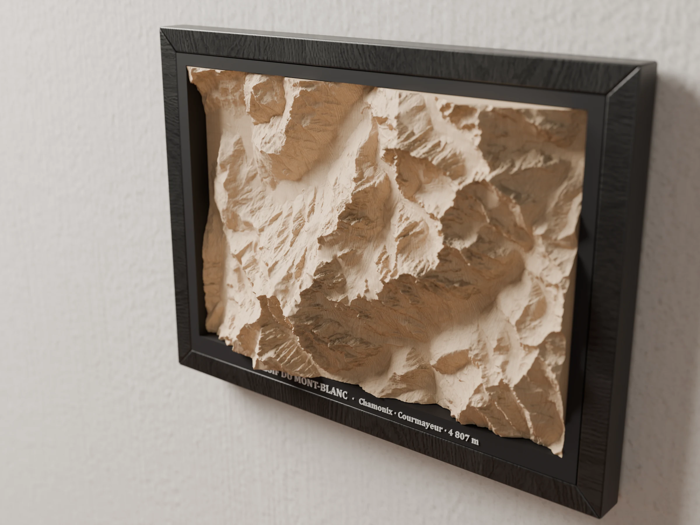
The same moulding stained satin black: the frame blends into the mat and all the light goes to the relief.
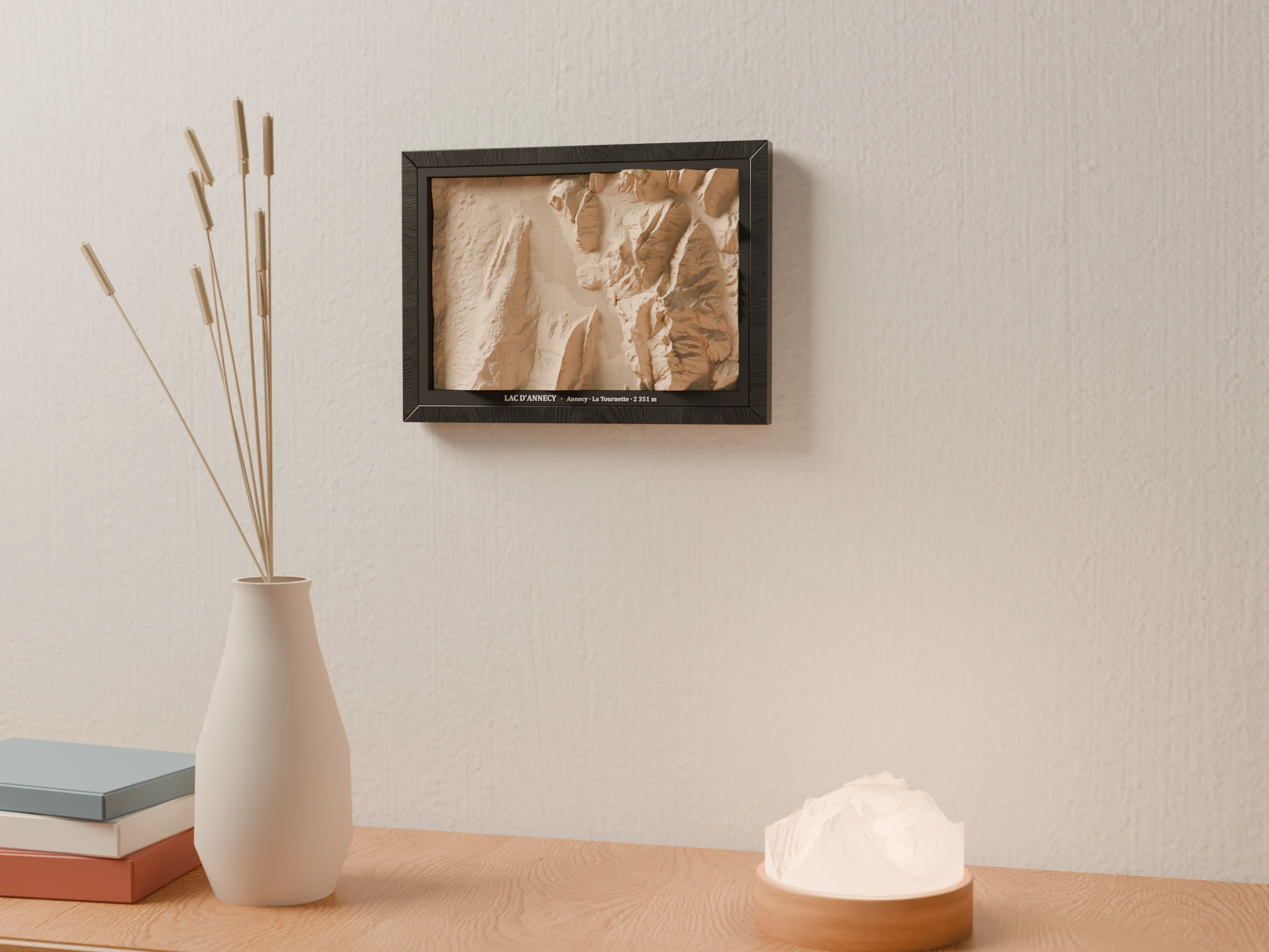
Each map has its mountain lamp: Mont Blanc, La Tournette above Lake Annecy, the Pointe Percée in the Aravis, the Cervin (Matterhorn), La Meije. The same relief, in wood and in light.
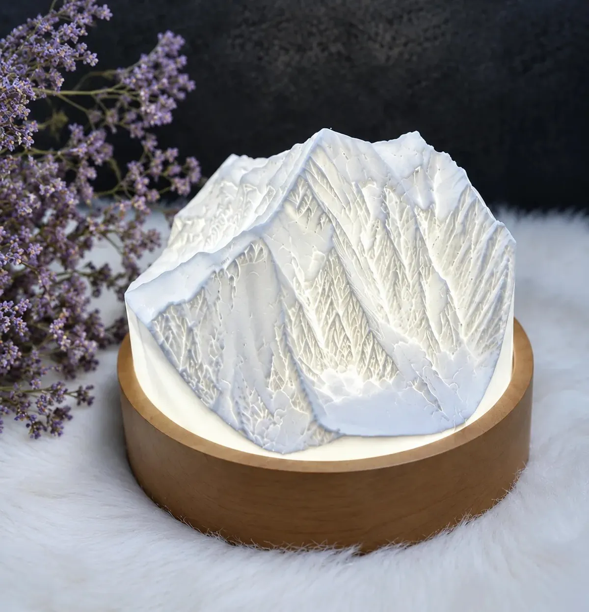 See the mountain lamps →
Each map is carved in the same 27 × 18 cm block of lime wood, following the real relief, nearly 5 cm deep. Hover over a map to see it from an angle; switch frames to see them all in light or black wood.
 1:111,000
Chamonix · Courmayeur · 4,807 m
A4 frame · 47 mm reliefNotify me 1:89,000
Annecy · La Tournette · 2,351 m
A4 frame · 47 mm reliefNotify me 1:81,000
Thônes · La Clusaz · Le Grand-Bornand
A4 frame · 47 mm reliefNotify me 1:111,000
Cervin 4,478 m · Mont Rose · Dent Blanche
A4 frame · 47 mm reliefNotify me 1:111,000
La Meije · Barre des Écrins 4,102 m
A4 frame · 47 mm reliefNotify me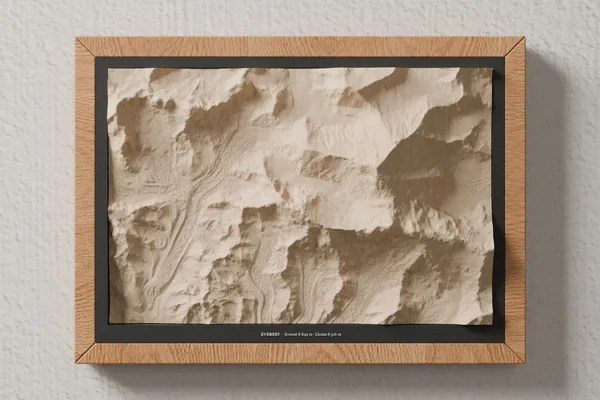 Mountain
Everest 8,849 m · Lhotse 8,516 m
See the map →Notify me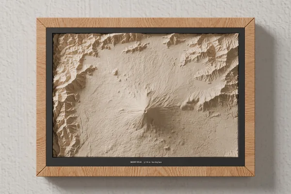 Mountain
3,776 m · the Five Lakes
See the map →Notify meNo map matches this filter.
The map is a 270 × 180 × 55 mm block of lime wood with up to 47 mm of relief. Framed: A4 size, 31.8 × 23.1 cm; the relief stands about 3 cm proud of the frame, 6 cm deep on the wall.
It comes from official topographic surveys (IGN LiDAR HD in France, swissALTI3D in Switzerland, Aosta Valley in Italy). Elevations are stretched across the full thickness of the block so the mountain stands out, but every valley, ridge and lake is in its place.
Yes. For another massif, a track to engrave or a special size, write to us from the made-to-order page.
With a soft brush or an air blower, never water. Hang it on an indoor wall, away from direct sunlight and humidity.
Terrain: IGN – LiDAR HD (Etalab Open Licence 2.0); swissALTI3D © swisstopo; Dati estratti dal Modello Digitale del Terreno (DTM) della Regione Autonoma Valle d'Aosta (CC BY 4.0, data modified); where these surveys are missing: produced using Copernicus WorldDEM-30 © DLR e.V. 2010-2014 and © Airbus Defence and Space GmbH 2014-2018 provided under COPERNICUS by the European Union and ESA; all rights reserved. The organisations in charge of the Copernicus programme by law or by delegation do not incur any liability for any use of the Copernicus WorldDEM-30. Details and licences: data sources.
Map visuals: 3D renders made from each map's machining programs (surface simulated pass by pass).