
Island maps
Seabed and land relief machined from a block of solid lime wood, shoreline laser-engraved.
See the islands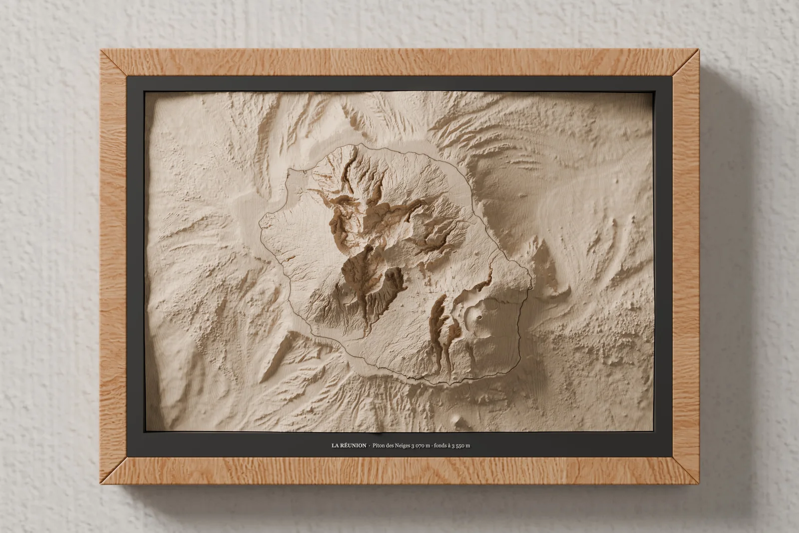
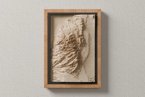
Corsica
Monte Cinto 2,706 m · seabed down to 2,750 m
Notify me
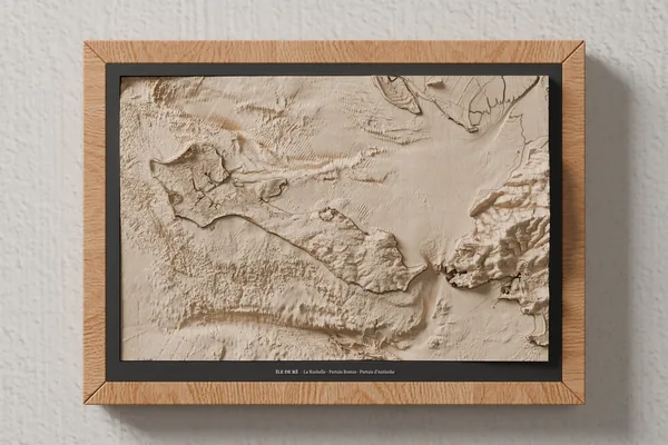
Île de Ré
La Rochelle · Pertuis Breton · Pertuis d'Antioche
Notify me
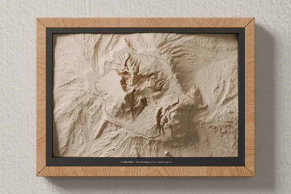
Réunion Island
Piton des Neiges 3,070 m · seabed down to 3,550 m
Notify me
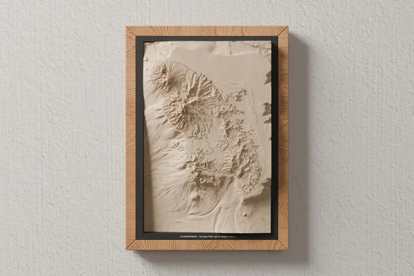
Martinique
Montagne Pelée 1,397 m · seabed down to 2,800 m
Notify me
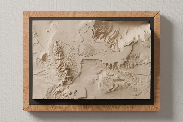
Guadeloupe
La Soufrière 1,467 m · seabed down to 5,050 m
Notify me
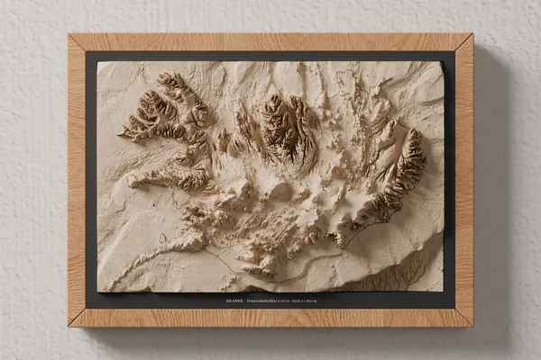
Iceland
Hvannadalshnúkur 2,110 m · seabed down to 1,800 m
Notify me
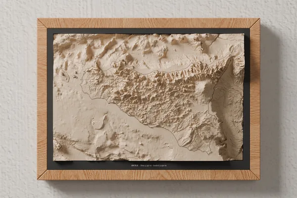
Sicily
Etna 3,357 m · seabed down to 3,450 m
Notify me
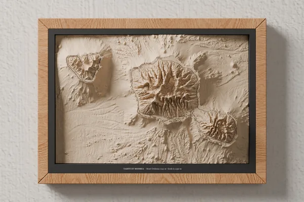
Tahiti and Moorea
Mont Orohena 2,241 m · seabed down to 3,350 m
Notify me
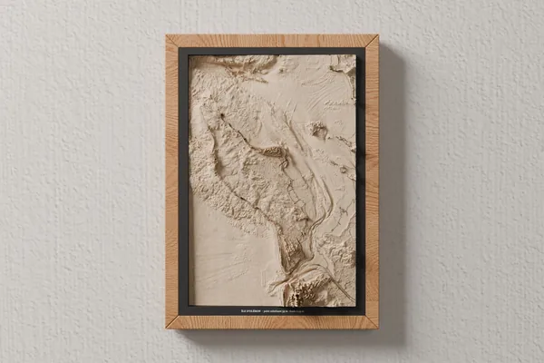
Oléron Island
highest point 35 m · seabed down to 49 m
Notify me
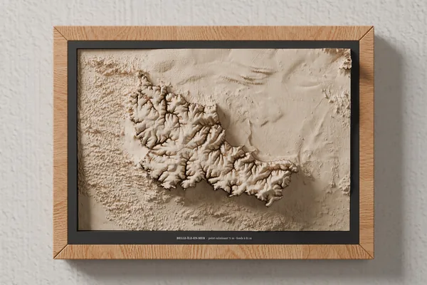
Belle-Île-en-Mer
highest point 71 m · seabed down to 81 m
Notify me
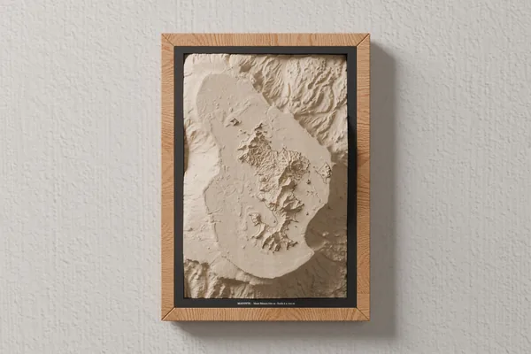
Mayotte
Mont Bénara 660 m · seabed down to 2,700 m
Notify me
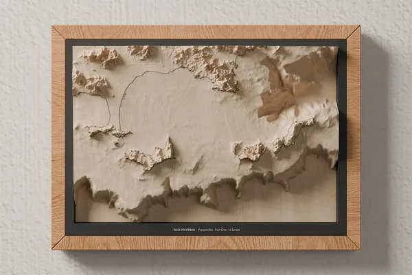
Hyères Islands
Porquerolles · Port-Cros · Le Levant
Notify me
From nautical chart to wood
The real data
The seabed comes from the bathymetric models of the Shom, the French Navy's hydrographic service; the land relief from IGN's RGE ALTI (for Tahiti and Moorea, from the Shom's land-and-sea models; for Iceland, from the European Copernicus model; for Sicily, from the Italian TINITALY model; off these two islands, from EMODnet bathymetry). The two are joined at sea level.
Machined in lime wood
The complete relief is CNC-machined from a 27 × 18 cm block of solid lime wood, 4 to 5.5 cm thick depending on the island, in our workshop in Thônes. North is always at the top: the frame hangs horizontally or vertically, depending on the shape of the island.
The shoreline by laser
The shoreline is laser-engraved, then the map is framed in oak, on a black mat carrying the island's name.
Your island isn't on the list?
A holiday island, the one where you proposed, the one where you were born: tell us which, we look at every request.
Request my islandFrequently asked questions
The lime-wood block measures 27 × 18 cm and is 4 to 5.5 cm thick depending on the island's relief. It comes in an A4 oak frame, on a black mat, hung horizontally or vertically depending on the shape of the island: Corsica, Martinique, Oléron and Mayotte are vertical.
At the map's scale, the real relief would be almost flat. We stretch it vertically, by the same factor under the sea and on land, so that slopes can be read by touch and in raking light. The factor depends on the island: the lower it is, the larger the factor.
Seabed: digital elevation models from the Shom (HOMONIM and TANDEM projects, 20 to 100 m grids depending on the island). Land: IGN's RGE ALTI; for Tahiti and Moorea, the Shom's coastal topo-bathymetric models (20 m), which also cover the land. These public data are released under the Open Licence. On the map of Corsica, Capraia and the northern tip of Sardinia, outside France, come from the Italian TINITALY model (INGV, CC BY 4.0). Iceland comes from the European Copernicus DEM GLO-90 model for the relief and from EMODnet bathymetry (CC BY 4.0) for the seabed. Sicily comes from the Italian TINITALY model (INGV, CC BY 4.0) for the relief and from EMODnet bathymetry (CC BY 4.0) for the seabed.
Yes, for French islands covered by Shom and IGN data. Write to us with the island and, if you like, the text to print on the mat.
Bathymetry: Shom, coastal and regional topo-bathymetric DEMs (HOMONIM, TANDEM and Météo-France projects, 2015 to 2023 editions depending on the island), Etalab Open Licence 2.0. Land relief: © IGN, RGE ALTI®, Etalab Open Licence 2.0; Tahiti and Moorea: Shom, coastal topo-bathymetric DEMs (2023), Etalab Open Licence 2.0. Product, year and DOI for each island: data sources. Corsica, Capraia and northern Sardinia: Tarquini S., Isola I., Favalli M., Battistini A., Dotta G. (2023). TINITALY, a digital elevation model of Italy with a 10 meters cell size (Version 1.1). INGV. https://doi.org/10.13127/tinitaly/1.1 — CC BY 4.0, data modified. Iceland: terrain produced using Copernicus WorldDEM-90 © DLR e.V. 2010-2014 and © Airbus Defence and Space GmbH 2014-2018 provided under COPERNICUS by the European Union and ESA; all rights reserved. The organisations in charge of the Copernicus programme by law or by delegation do not incur any liability for any use of the Copernicus WorldDEM-90 (Copernicus DEM licence); seabed: this data product was created by EMODnet (https://emodnet.ec.europa.eu/en/) and is owned by the EU and licensed under the Creative Commons Attribution 4.0 International (CC BY 4.0) license. EMODnet Bathymetry Consortium (2024): EMODnet Digital Bathymetry (DTM 2024). https://doi.org/10.12770/cf51df64-56f9-4a99-b1aa-36b8d7b743a1 — data modified. Sicily: terrain Tarquini S., Isola I., Favalli M., Battistini A., Dotta G. (2023). TINITALY, a digital elevation model of Italy with a 10 meters cell size (Version 1.1). INGV. https://doi.org/10.13127/tinitaly/1.1 — CC BY 4.0, data modified; seabed: EMODnet Digital Bathymetry (DTM 2024), CC BY 4.0, data modified.