
Interested in this map?
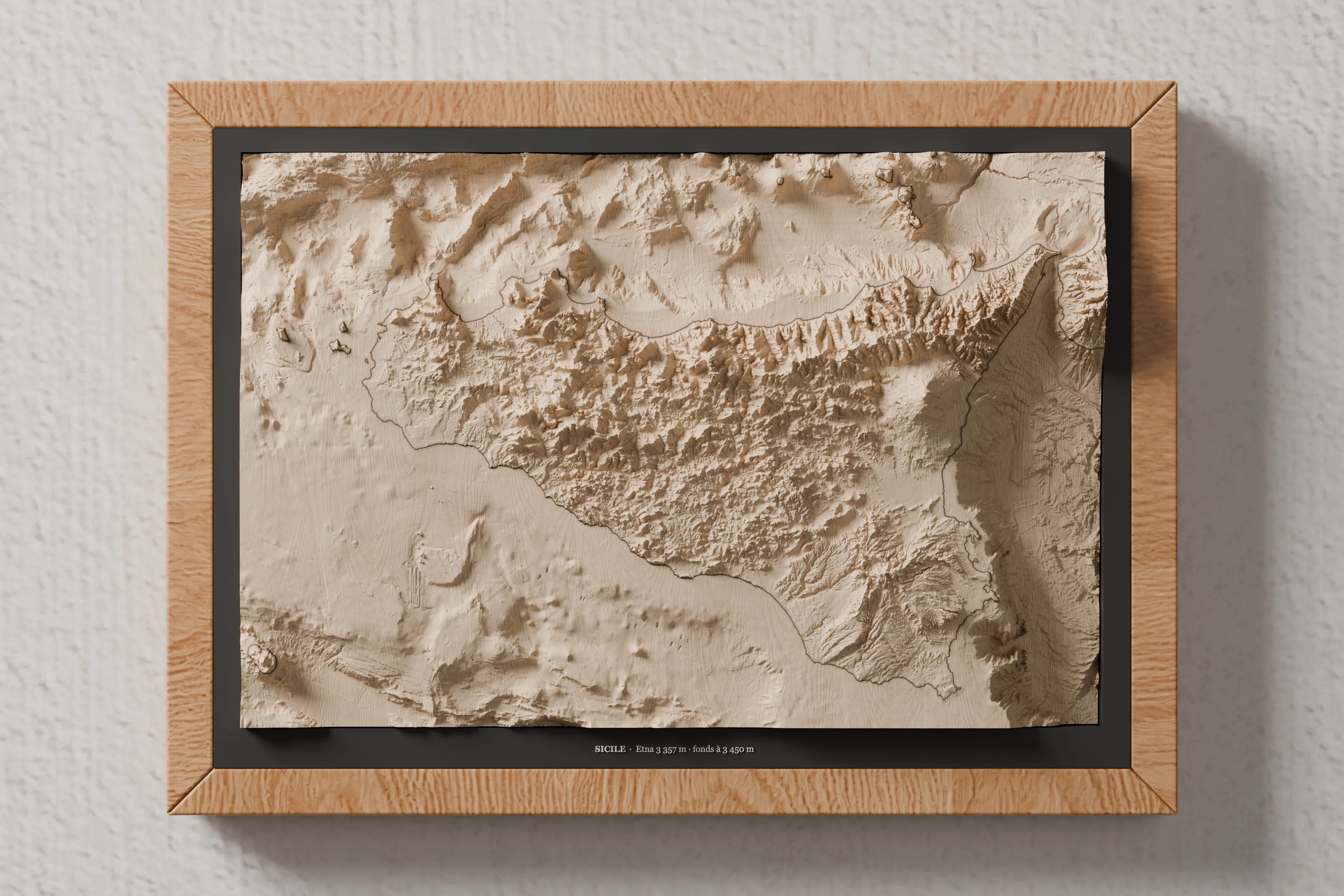
Wooden relief map of Sicily
Leave your email and we'll let you know as soon as it's available.
Your address is only used to tell you when this map is available: it is never shared or added to the newsletter, and you can ask for it to be deleted at any time. Privacy policy
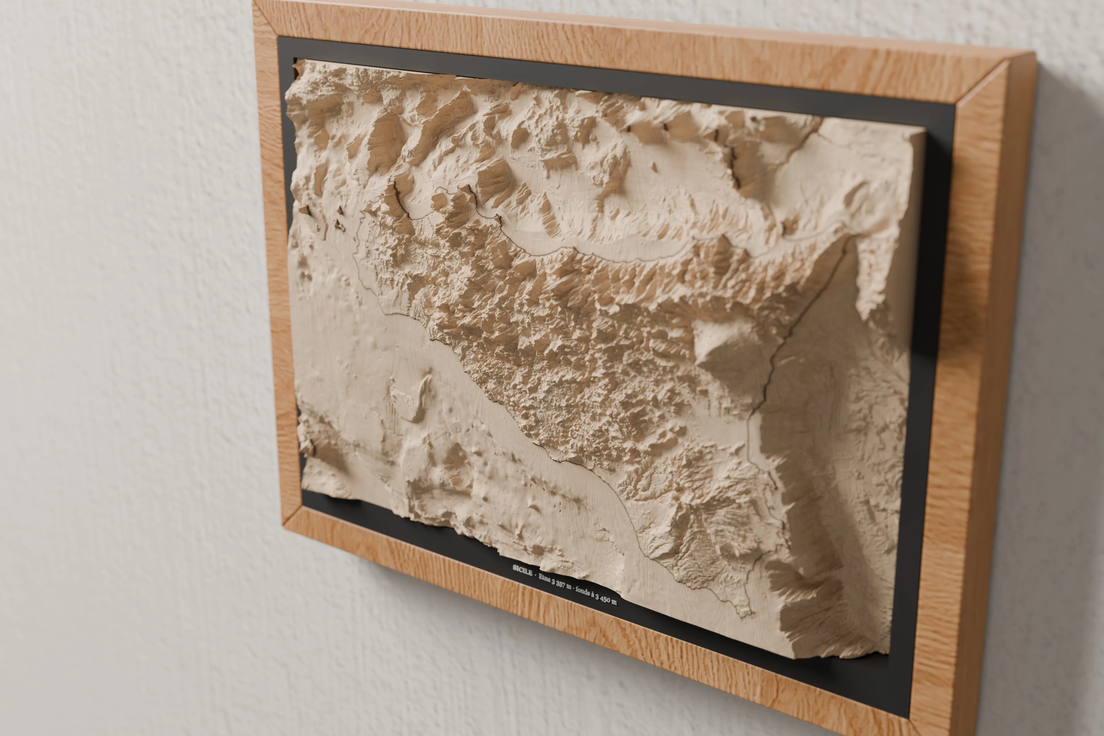
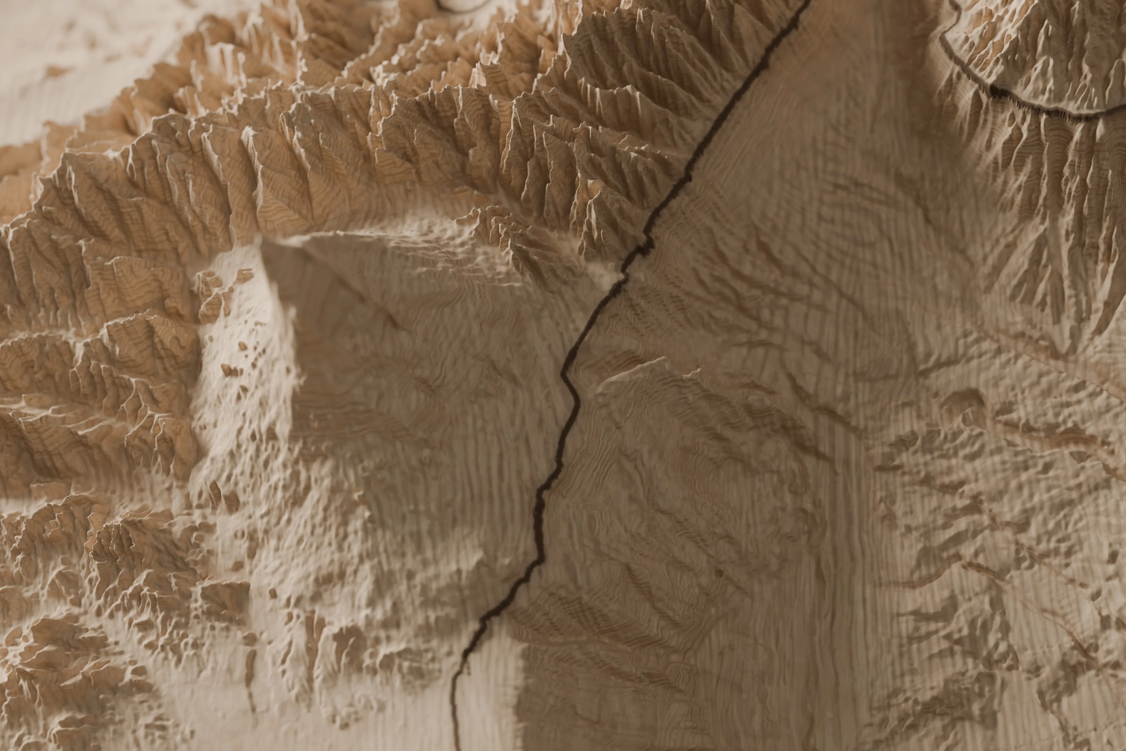
Sicily and the seabed around it, carved in one piece from a solid block of lime wood: Mount Etna, the Madonie and Nebrodi mountains, the Egadi and Aeolian Islands and the Strait of Messina. From the seabed 3,450 m deep up to Etna (3,357 m), every landform sits where it belongs. A single laser-engraved line draws the shoreline: above it, the land; below it, the sea. The relief is exaggerated 9 times vertically so it reads at a glance and in raking light. It hangs horizontally, in an A4 oak frame. Machined, engraved and framed in our workshop in Thônes, in the French Alps.
Data sources
Citing these producers does not imply that they endorse our products. All sources and licences
Search for your summit on the map, adjust the framing and the relief, and see the lamp lit up before you even order. What you approve on screen is what the workshop makes.
89 € TTC · socle bois inclus
Design my lamp Or see every summit on the map
