Home › Wooden maps
Wooden mapsReal relief, carved in wood
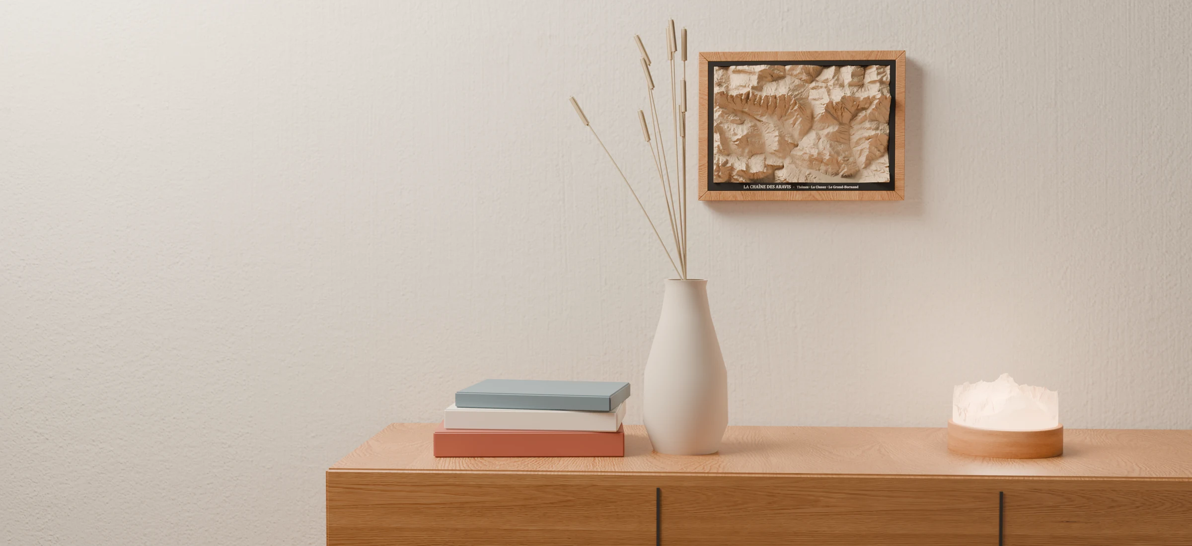
A massif, a trail, an island or a summit at the far end of the world: terrain from official topographic surveys, milled into a block of solid lime wood that rises out of its A4 frame. Made in our workshop in Thônes, in the French Alps.
59 maps, from massif to island
All our maps share the same 27 × 18 cm block of lime wood and the same A4 frame; what changes is the piece of the Earth they tell. Pick a family to narrow it down.
 1:111,000

The Mont Blanc massif
Chamonix · Courmayeur · 4,807 m
A4 frame · 47 mm reliefNotify me 1:89,000

Lake Annecy
Annecy · La Tournette · 2,351 m
A4 frame · 47 mm reliefNotify me 1:81,000

The Aravis range
Thônes · La Clusaz · Le Grand-Bornand
A4 frame · 47 mm reliefNotify me 1:111,000

Zermatt and the Cervin
Cervin 4,478 m · Mont Rose · Dent Blanche
A4 frame · 47 mm reliefNotify me 1:111,000

The Écrins massif
La Meije · Barre des Écrins 4,102 m
A4 frame · 47 mm reliefNotify me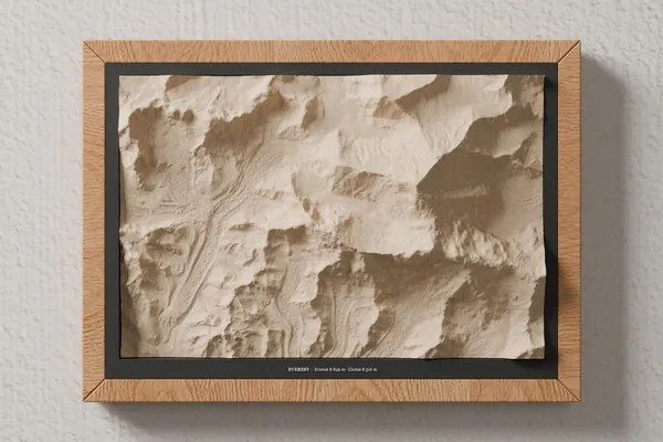 Mountain
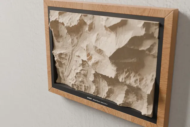
Mount Everest
Everest 8,849 m · Lhotse 8,516 m
See the map →Notify me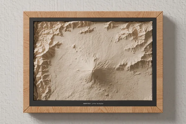 Mountain
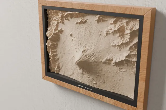
Mount Fuji
3,776 m · the Five Lakes
See the map →Notify me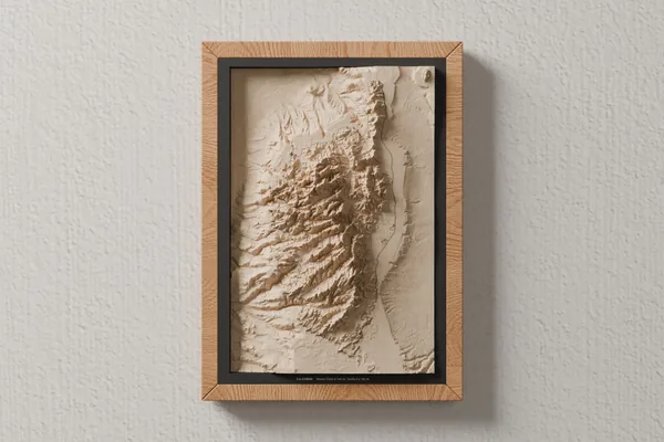 Island · seabed
Corsica
Monte Cinto 2,706 m · seabed down to 2,750 m
See the map →Notify me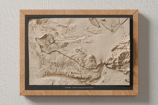 Island · seabed
Île de Ré
La Rochelle · Pertuis Breton · Pertuis d'Antioche
See the map →Notify me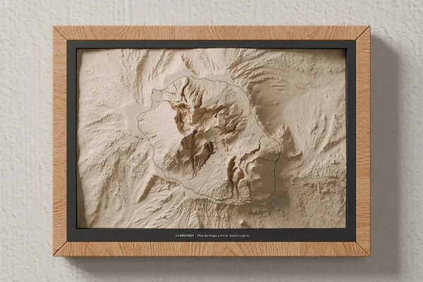 Island · seabed
Réunion Island
Piton des Neiges 3,070 m · seabed down to 3,550 m
See the map →Notify me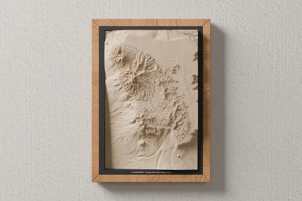 Island · seabed
Martinique
Montagne Pelée 1,397 m · seabed down to 2,800 m
See the map →Notify me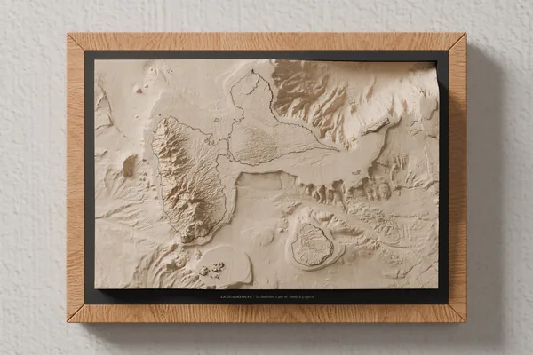 Island · seabed
Guadeloupe
La Soufrière 1,467 m · seabed down to 5,050 m
See the map →Notify me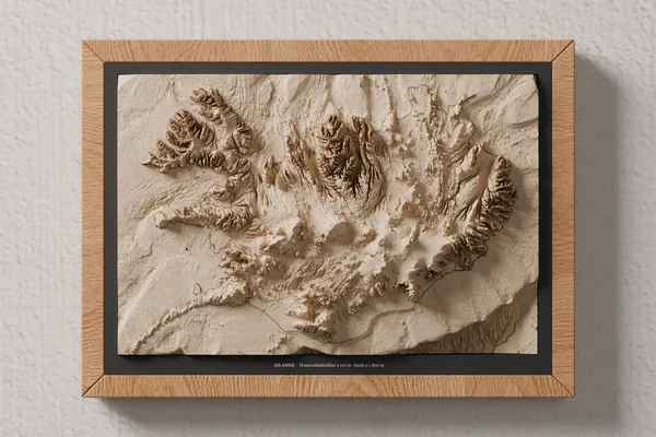 Island · seabed
Iceland
Hvannadalshnúkur 2,110 m · seabed down to 1,800 m
See the map →Notify me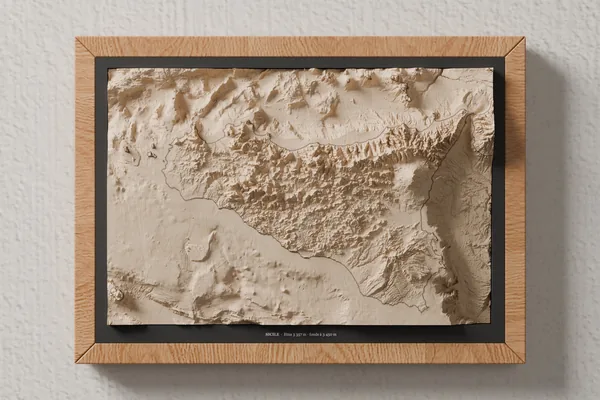 Island · seabed
Sicily
Etna 3,357 m · seabed down to 3,450 m
See the map →Notify me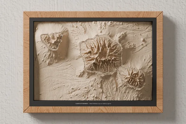 Island · seabed
Tahiti and Moorea
Mont Orohena 2,241 m · seabed down to 3,350 m
See the map →Notify me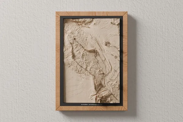 Island · seabed
Oléron Island
highest point 35 m · seabed down to 49 m
See the map →Notify me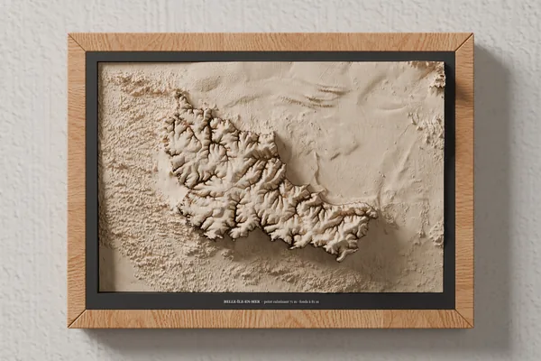 Island · seabed
Belle-Île-en-Mer
highest point 71 m · seabed down to 81 m
See the map →Notify me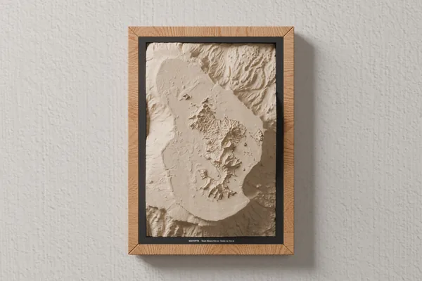 Island · seabed
Mayotte
Mont Bénara 660 m · seabed down to 2,700 m
See the map →Notify me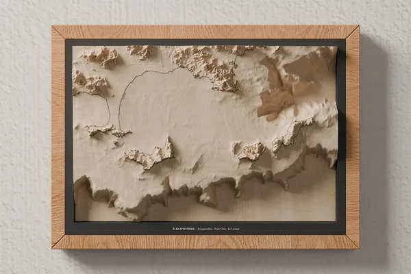 Island · seabed
Hyères Islands
Porquerolles · Port-Cros · Le Levant
See the map →Notify me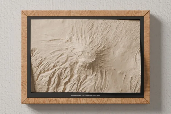 Mountain
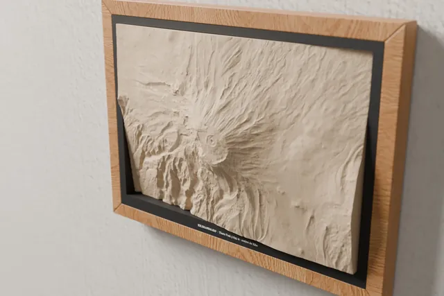
Kilimanjaro
Uhuru Peak 5,895 m · Kibo crater
See the map →Notify me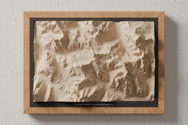 Mountain
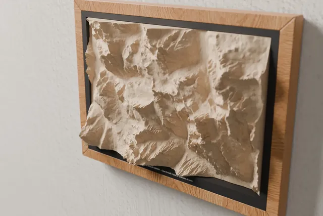
Dolomites – Tre Cime di Lavaredo
Cima Grande 2,999 m · Dolomiti di Sesto
See the map →Notify me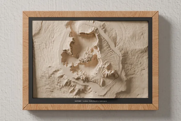 Island · seabed
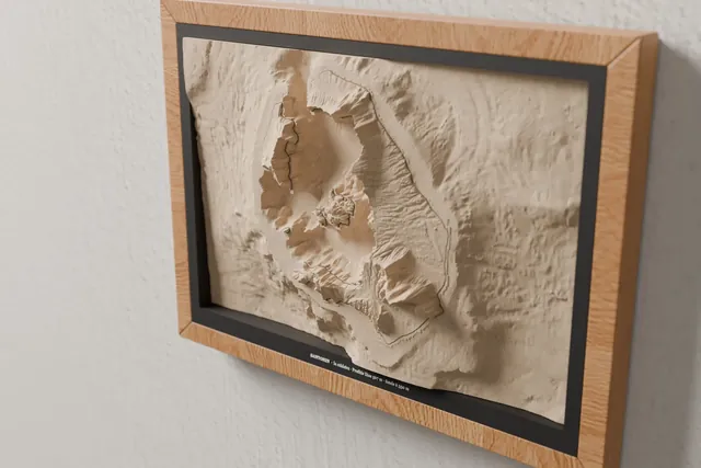
Santorini
the caldera · Profitis Ilias 567 m · seabed down to 550 m
See the map →Notify me Hike · Loop
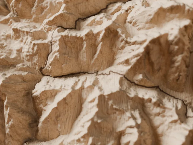
Tour du Mont Blanc
Mont Blanc massif · France, Italy, Switzerland
170 kmD+ 10,000 m10 to 12 days
See the map →Notify me Hike · Point to point
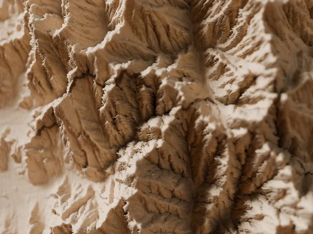
Corsica traverse, north: Calenzana → Vizzavona
Corsica · France
90 kmD+ 8,000 m7 to 9 days
See the map →Notify me Hike · Point to point
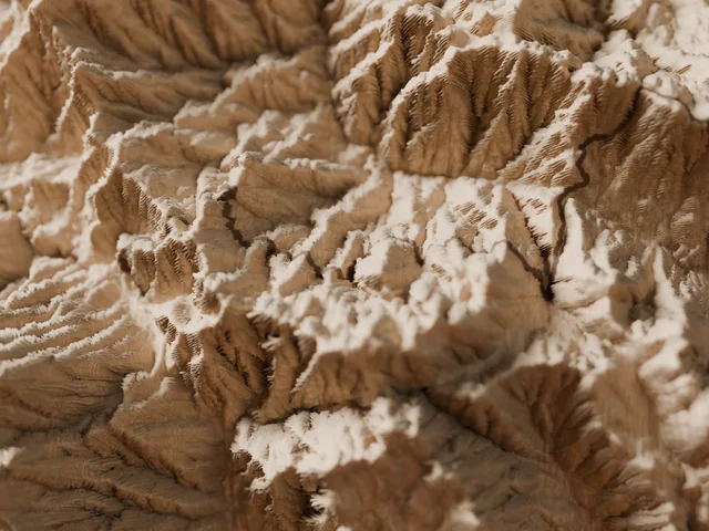
Corsica traverse, south: Vizzavona → Conca
Corsica · France
92 kmD+ 4,719 m5 to 7 days
See the map →Notify me Hike · Point to point
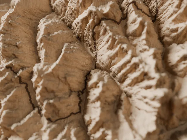
Walker's Haute Route (Chamonix – Zermatt)
Pennine Alps · France, Switzerland
215 kmD+ 14,500 m12 to 14 days
See the map →Notify me Hike · Loop
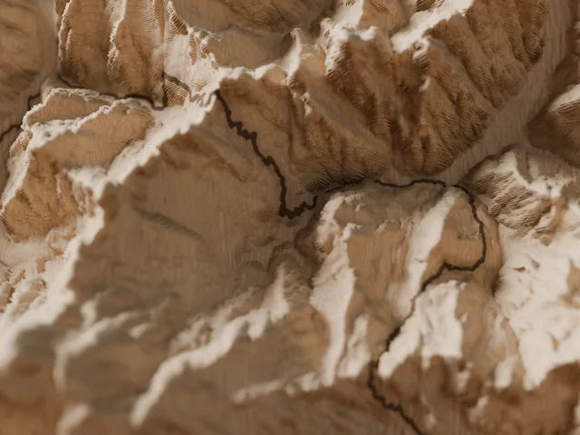
Tour of Monte Rosa
Monte Rosa · Switzerland, Italy
163 kmD+ 12,000 m9 to 11 days
See the map →Notify me Hike · Point to point
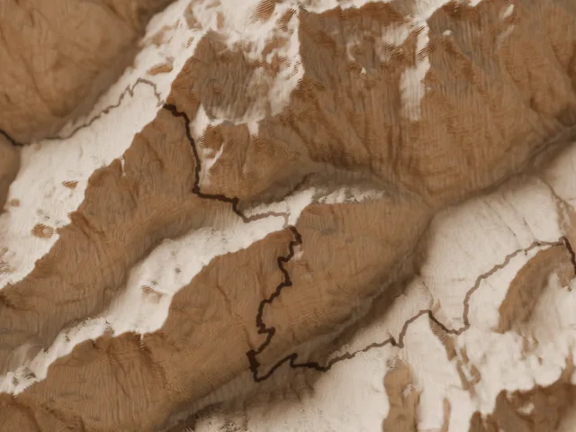
Tour du Cervin
Valais · Switzerland, Aosta Valley · Italy
145 kmD+ 10,000 m8 to 10 days
See the map →Notify me Hike · Point to point
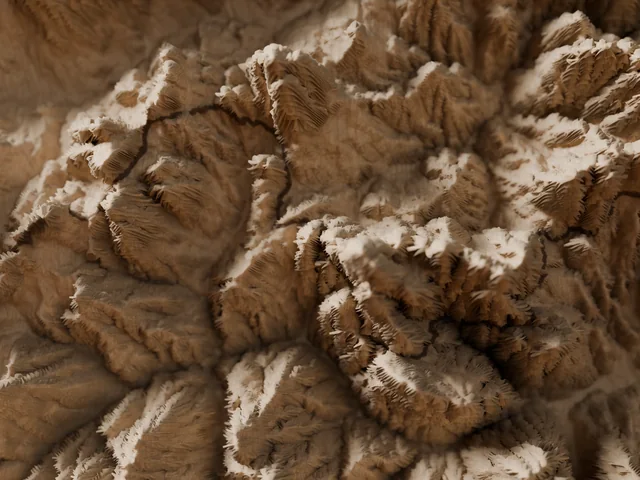
Alta Via 1 (Dolomites)
Dolomites · Braies to Belluno, Italy
125 kmD+ 7,300 m8 to 12 days
See the map →Notify me Hike · Loop
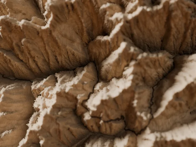
Tour of the Oisans and Écrins
Écrins · Isère, Hautes-Alpes
194 kmD+ 12,000 m11 to 14 days
See the map →Notify me Hike · Point to point
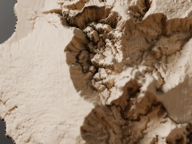
Réunion Island grand traverse
Réunion Island · Saint-Denis to Basse-Vallée
135 kmD+ 10,100 m10 to 14 days
See the map →Notify me Hike · Loop
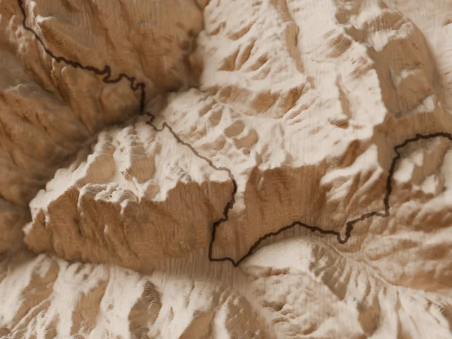
Tour of the Queyras
Queyras · Hautes-Alpes, France
113 kmD+ 7,725 m8 to 10 days
See the map →Notify me Hike · Loop
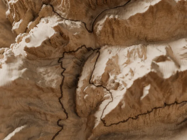
Tour of the Vanoise
Vanoise · Savoie, France
150 kmD+ 8,038 m10 to 12 days
See the map →Notify me Hike · Loop
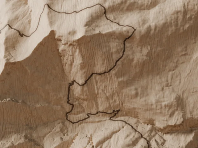
Tour of the Dents du Midi
Valais Chablais · Switzerland
45 kmD+ 3,000 m3 to 4 days
See the map →Notify me Hike · Loop
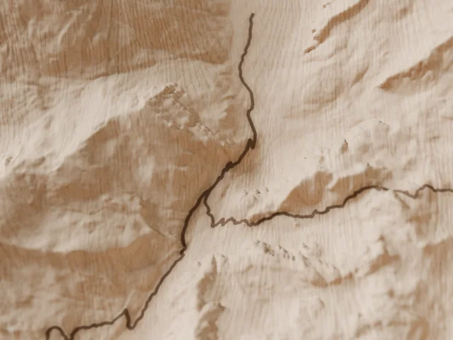
Tour of Monte Viso
Monte Viso · Piedmont, Italy and Queyras
40 kmD+ 3,000 m3 to 5 days
See the map →Notify me Hike · Loop
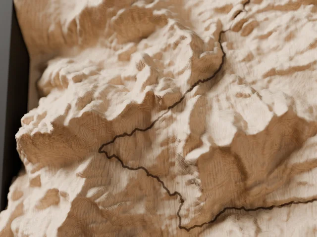
Aigüestortes hut-to-hut loop
Catalan Pyrenees · Spain
Follows the Carros de Foc route (~55 km). Independent product, not affiliated with the organiser; Carros de Foc is a trademark of its owner.
55 kmD+ 4,600 m4 to 7 days
See the map →Notify me Hike · Loop
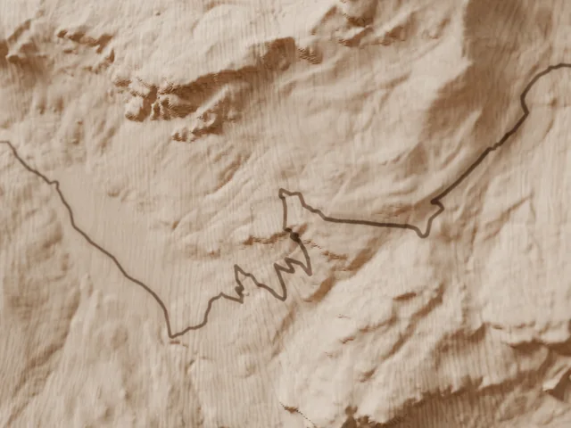
Tour of the Pic du Midi d'Ossau
Ossau valley · Pyrénées-Atlantiques, France
17 kmD+ 1,100 m1 to 2 days
See the map →Notify me Hike · Loop
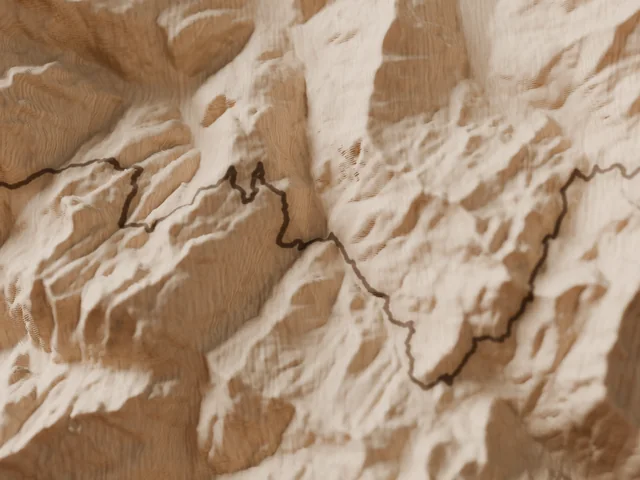
Tour of the Beaufortain
Beaufortain · Savoie, France
105 kmD+ 5,901 m5 to 7 days
See the map →Notify me Hike · Point to point
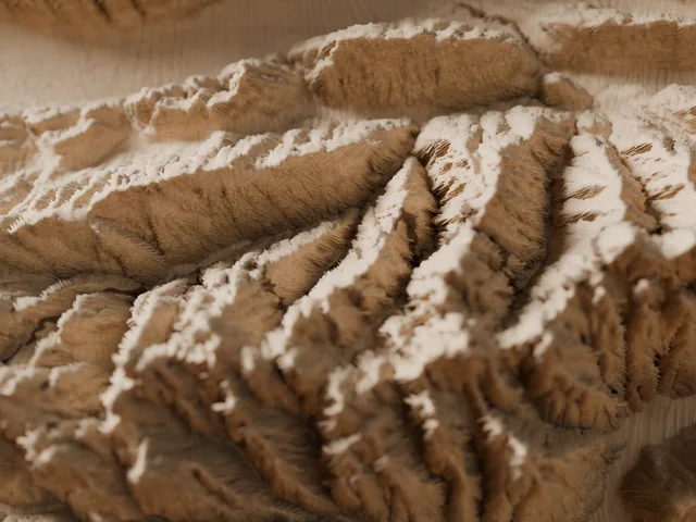
Belledonne High Traverse
Belledonne range · Savoie, Isère, France
127 kmD+ 10,000 m10 to 11 days
See the map →Notify me Hike · Loop
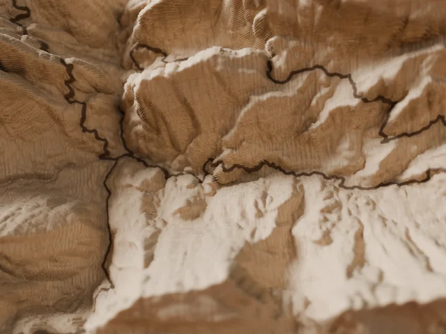
Tour of the Chartreuse
Chartreuse · Isère, Savoie, France
106 kmD+ 6,500 m6 to 7 days
See the map →Notify me Hike · Point to point
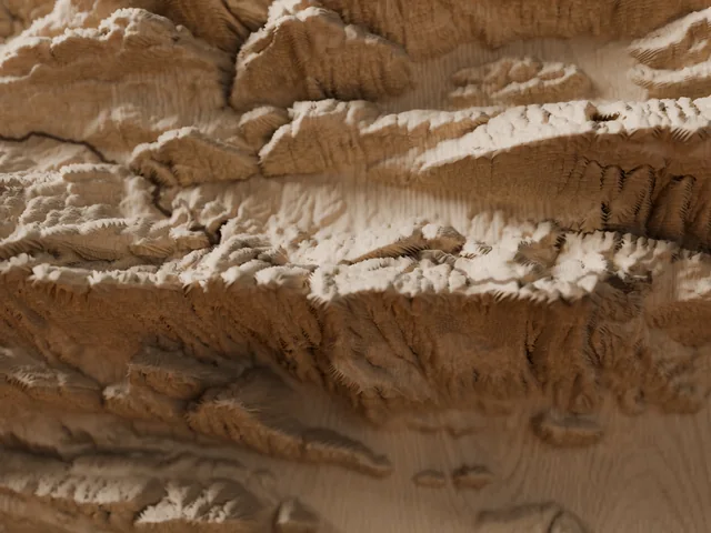
Vercors Traverse
Vercors · Saint-Nizier to Châtillon-en-Diois, France
80 kmD+ 3,042 m4 to 6 days
See the map →Notify me Hike · Loop
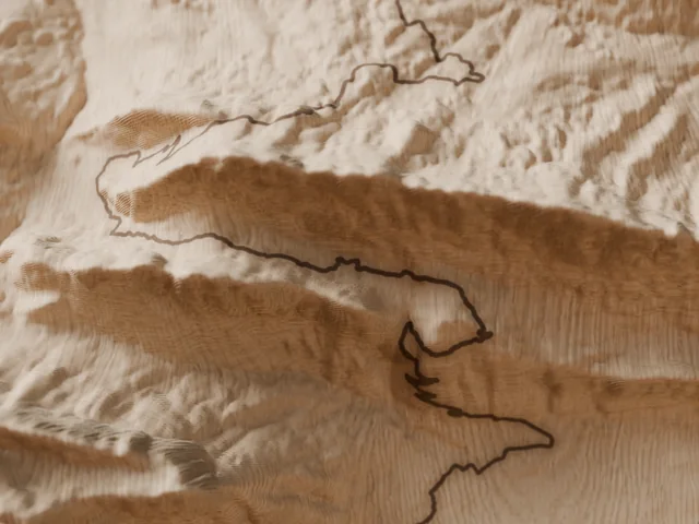
Lake Annecy circuit
Lake Annecy · Haute-Savoie, France
95 kmD+ 4,750 m6 to 7 days
See the map →Notify me Hike · Loop
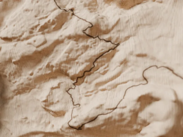
Sancy long loop
Sancy massif · Puy-de-Dôme, France
85 kmD+ 3,385 m5 to 6 days
See the map →Notify me Trail · Loop
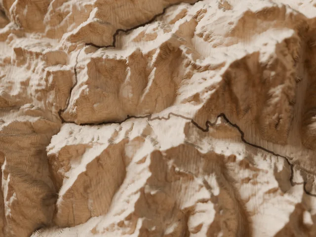
Mont Blanc loop race route, 174 km
Chamonix · France, Italy, Switzerland
Follows the UTMB® course (~174 km). Independent product, not affiliated with the organiser; UTMB® is a trademark of its owner.
174 kmD+ 9,900 m
See the map →Notify me Trail · Point to point
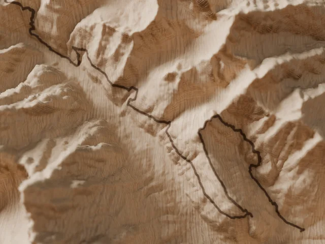
Courmayeur – Champex – Chamonix
Mont Blanc massif · Italy, Switzerland, France
Follows the CCC® course (~101 km). Independent product, not affiliated with the organiser; CCC® is a trademark of its owner.
101 kmD+ 6,050 m
See the map →Notify me Trail · Point to point
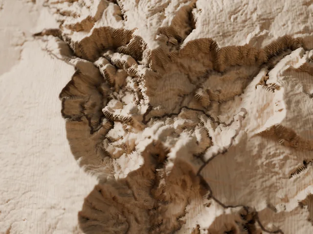
South-to-north crossing of Réunion Island
Réunion Island · France
Follows the Diagonale des Fous® course (~180 km). Independent product, not affiliated with the organiser; Diagonale des Fous® is a trademark of its owner.
180 kmD+ 10,200 m
See the map →Notify me Trail · Point to point
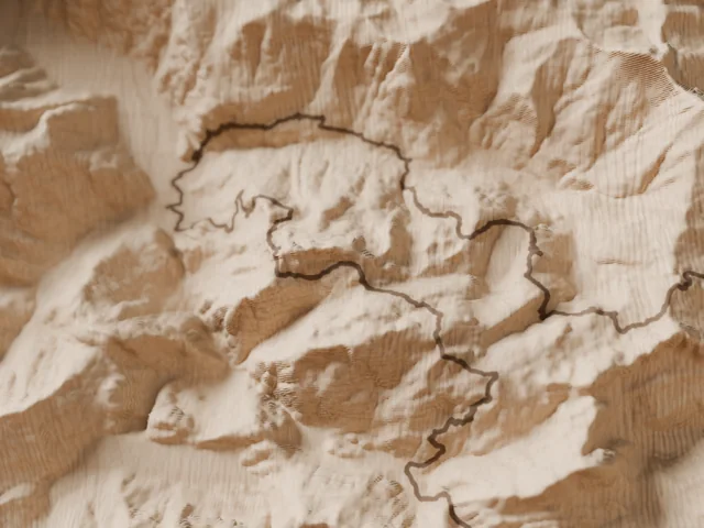
Courmayeur → Chamonix via the Beaufortain
Mont Blanc massif, Beaufortain · Italy, France
Follows the TDS® course (~145 km). Independent product, not affiliated with the organiser; TDS® is a trademark of its owner.
145 kmD+ 9,500 m
See the map →Notify me Trail · Loop
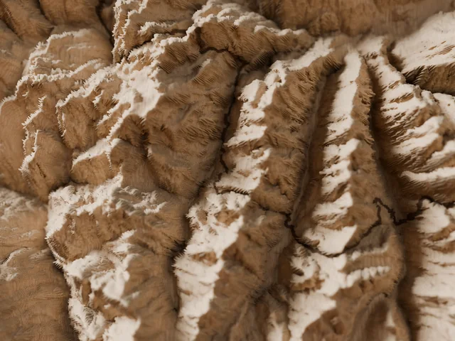
Aosta Valley high routes, 330 km
Aosta Valley · Italy
Follows the Tor des Géants® course (~330 km). Independent product, not affiliated with the organiser; Tor des Géants® is a trademark of its owner.
330 kmD+ 24,000 m
See the map →Notify me Trail · Loop
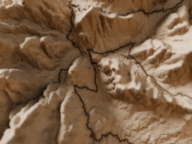
Cortina and the Tre Cime, 120 km
Dolomites · Cortina d'Ampezzo, Italy
Follows the Lavaredo Ultra Trail® course (~120 km). Independent product, not affiliated with the organiser; Lavaredo Ultra Trail® is a trademark of its owner.
120 kmD+ 5,800 m
See the map →Notify me Trail · Loop
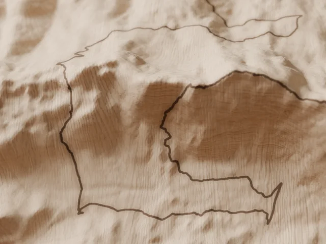
Aizkorri massif
Gipuzkoa · Basque Country, Spain
Follows the Zegama-Aizkorri® course (~42 km). Independent product, not affiliated with the organiser; Zegama-Aizkorri® is a trademark of its owner.
42 kmD+ 2,736 m
See the map →Notify me Trail · Loop
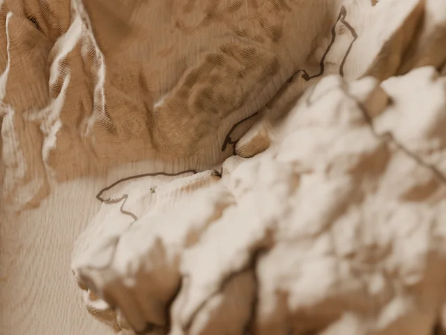
Grands Causses – Millau
Aveyron · France
Follows the Grand Trail des Templiers® course (~80 km). Independent product, not affiliated with the organiser; Grand Trail des Templiers® is a trademark of its owner.
80 kmD+ 3,500 m
See the map →Notify me Trail · Loop
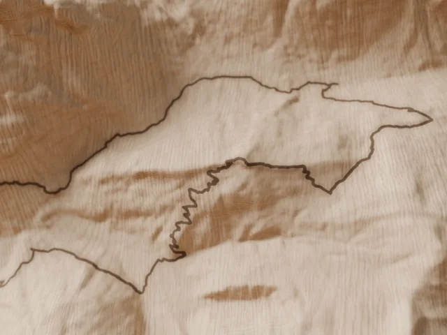
Chamonix → Planpraz, 42 km
Chamonix valley · France
Follows the Marathon du Mont-Blanc® course (~42 km). Independent product, not affiliated with the organiser; Marathon du Mont-Blanc® is a trademark of its owner.
42 kmD+ 2,540 m
See the map →Notify me Trail · Point to point
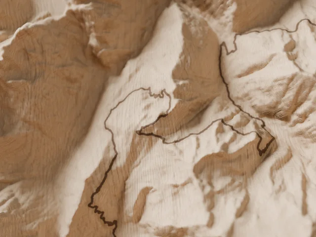
Orsières – Champex – Chamonix
Mont Blanc massif · Switzerland, France
Follows the OCC® course (~60 km). Independent product, not affiliated with the organiser; OCC® is a trademark of its owner.
60 kmD+ 3,500 m
See the map →Notify me Trail · Point to point
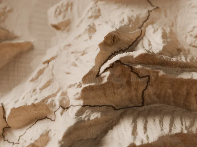
Lake Annecy ridges loop
Lake Annecy · Haute-Savoie, France
100 kmD+ 5,400 m
See the map →Notify me Trail · Loop
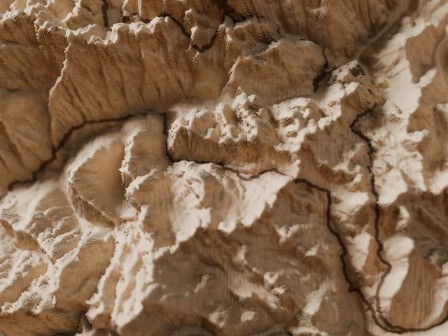
Hautes-Pyrénées loop from Vielle-Aure
Central Pyrenees · France
Follows the Grand Raid des Pyrénées® Ultra course (~174 km). Independent product, not affiliated with the organiser; Grand Raid des Pyrénées® is a trademark of its owner.
174 kmD+ 10,400 m
See the map →Notify me Trail · Point to point
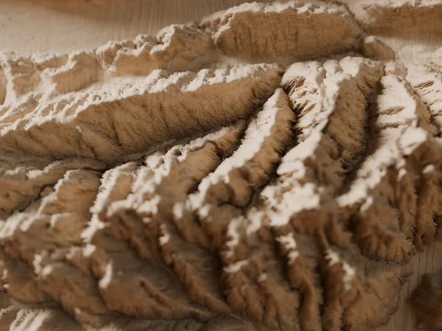
Full Belledonne traverse
Belledonne range · Isère, Savoie
Follows the course of L'Échappée Belle® – Intégrale (~150 km). Independent product, not affiliated with the organiser; L'Échappée Belle® is a trademark of its owner.
150 kmD+ 11,200 m
See the map →Notify me Trail · Loop
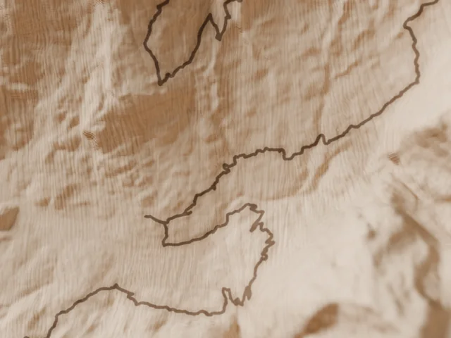
Grindelwald, beneath the Eiger
Bernese Oberland · Switzerland
Follows the Eiger Ultra Trail® E101 course (~101 km). Independent product, not affiliated with the organiser; Eiger Ultra Trail® is a trademark of its owner.
101 kmD+ 6,700 m
See the map →Notify me Trail · Loop
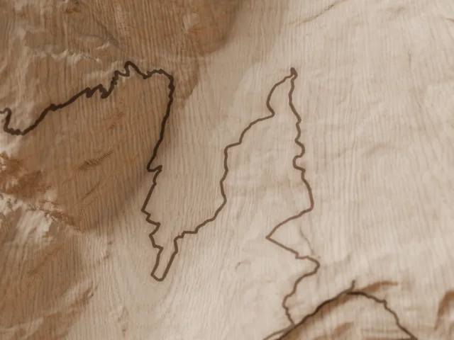
Zermatt – Gornergrat – Schwarzsee
Valais · Switzerland
49 kmD+ 3,600 m
See the map →Notify me Trail · Loop
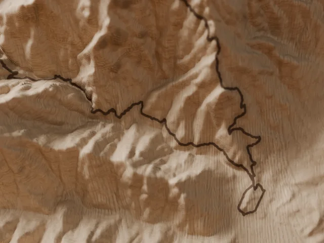
Corte and the Restonica valley
Corsica · Haute-Corse
Follows the Restonica Trail® course (~69 km). Independent product, not affiliated with the organiser; Restonica Trail® is a trademark of its owner.
69 kmD+ 4,000 m
See the map →Notify meNo map matches this filter.
Choose your terrain
Each family has its own page: how it is made, where its data comes from, and all its maps.
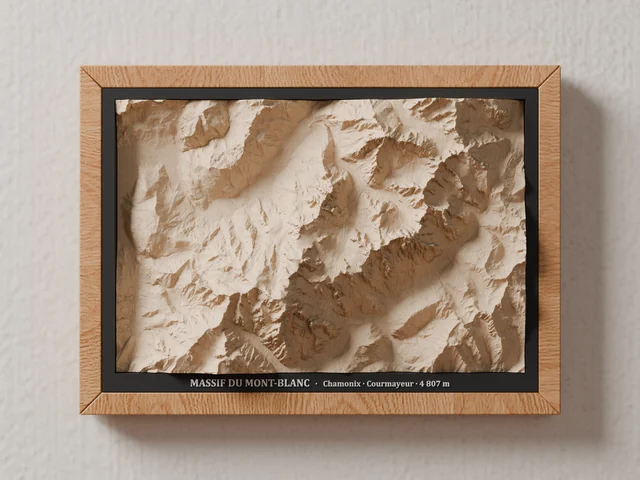 7 massifs
A whole massif on your wall
The Mont Blanc massif, Lake Annecy, the Aravis, Zermatt and the Cervin (Matterhorn), the Écrins, Everest and Mount Fuji: every valley and every ridge in its place, in a light or black wooden frame.
See the mountain maps →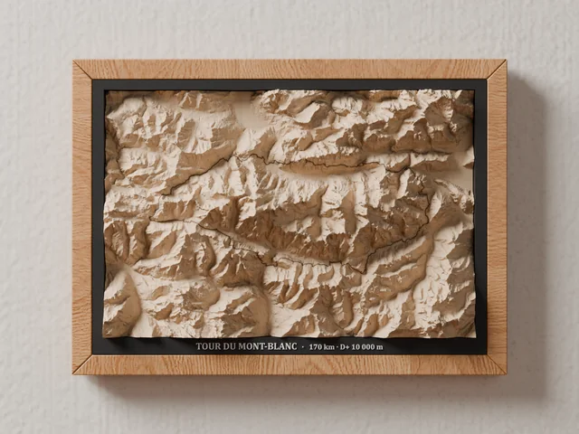 37 routes
Your trail, engraved in the mountain
The Tour du Mont Blanc, the Corsica traverse, the Haute Route… the route laser-burned onto its relief.
See the routes →
12 islands
From seabed to summits
Corsica, Réunion, Tahiti and Moorea, Iceland, Sicily… the island and the sea around it in one piece, the shoreline engraved with a single laser line.
See the islands →
6 places
Summits and islands of the world
Kilimanjaro, the Dolomites, Everest, Mount Fuji, Santorini… legendary places carved in the same wood, on request.
See the world maps →What they have in common
Real survey data
IGN, swisstopo, Shom, Copernicus… the terrain comes from official digital elevation models, with no interpretation.
A block of solid lime wood
27 × 18 cm and up to 5.5 cm thick; its growth rings, cut through by the slopes, draw their own contour lines.
Milled in our workshop
A roughing pass with a flat end mill, a finishing pass with a 0.5 mm tapered ball mill, then the laser for routes and shorelines.
Relief that rises out of the frame
The block passes through a black mat set flush with the A4 frame: the relief stands proud and casts its own shadows.
Terrain and seabed: IGN (Etalab Open Licence 2.0), swisstopo, Shom, Copernicus and the other producers credited on each page and in our data sources. Visuals: 3D renders computed from each map's machining programs.
Before you choose
How is it different from a mountain lamp?
The lamp reproduces a single summit in volume, printed in high definition and lit from inside on its pear-wood base. The map shows a whole territory, a massif, a route or an island, carved in wood and hung on the wall. Many people pair them: the massif on the wall, its summit on the sideboard.
Is the relief exaggerated?
It is stretched vertically so it reads at a glance and in raking light: a little for big massifs, more for low or very large islands. Valleys, ridges and coastlines stay exactly where they really are.
Can I engrave my own route?
Yes, on request: describe your route to us from the made-to-order page and we will suggest a framing.
My place isn't on any page: is it possible?
Write to us from the made-to-order page: we check that data for the place exists under a licence that allows selling it, then we suggest a framing.
How do I care for it?
With a soft brush or an air blower, never water. Hang it on an indoor wall, away from direct sunlight and humidity.