
Home › Wooden maps › Engraved hikes and trails
Engraved hikes and trailsYour trail, engraved in the mountain
The Tour du Mont Blanc, the Corsica traverse, the Haute Route… The great routes are ready to engrave: the real relief is carved in a block of solid lime wood and the route is laser-burned on top, pass after pass.
21 hikes, 16 trails
Each map is framed around its route, the relief stretched over nearly 5 cm of wood. Hover over a map to see the engraved route up close; click it to request it from us, with the margin, size and frame of your choice.
 Hike · Loop
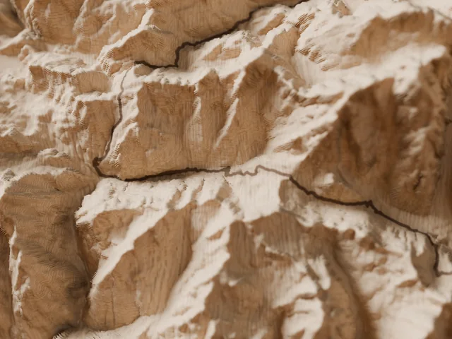
Tour du Mont Blanc
Mont Blanc massif · France, Italy, Switzerland
170 kmD+ 10,000 m10 to 12 days
See the map →Notify me Hike · Point to point
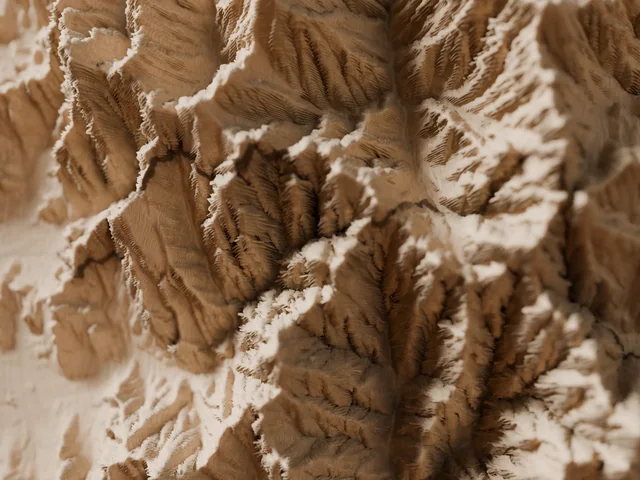
Corsica traverse, north: Calenzana → Vizzavona
Corsica · France
90 kmD+ 8,000 m7 to 9 days
See the map →Notify me Hike · Point to point
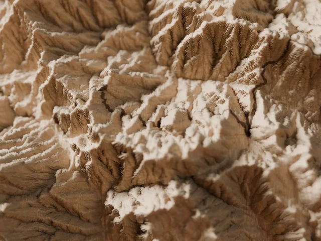
Corsica traverse, south: Vizzavona → Conca
Corsica · France
92 kmD+ 4,719 m5 to 7 days
See the map →Notify me Hike · Point to point
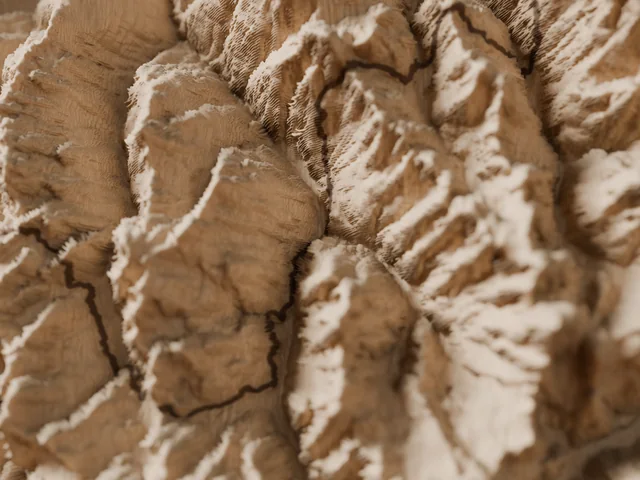
Walker's Haute Route (Chamonix – Zermatt)
Pennine Alps · France, Switzerland
215 kmD+ 14,500 m12 to 14 days
See the map →Notify me Hike · Loop
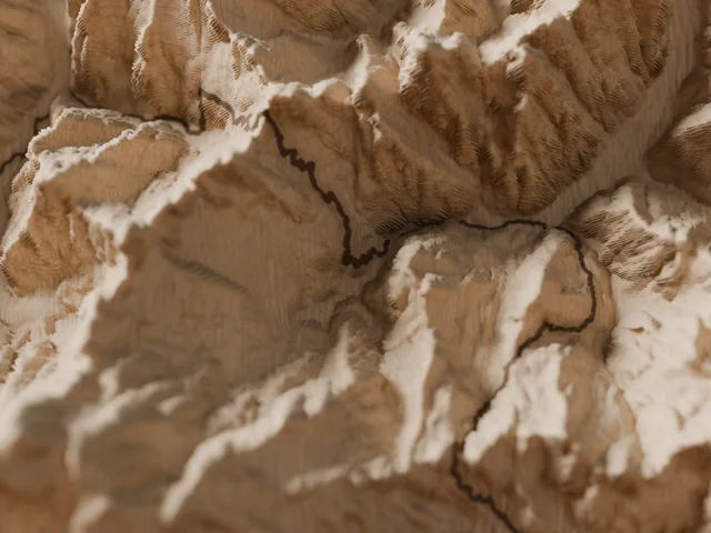
Tour of Monte Rosa
Monte Rosa · Switzerland, Italy
163 kmD+ 12,000 m9 to 11 days
See the map →Notify me Hike · Point to point
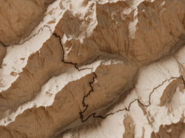
Tour du Cervin
Valais · Switzerland, Aosta Valley · Italy
145 kmD+ 10,000 m8 to 10 days
See the map →Notify me Hike · Point to point
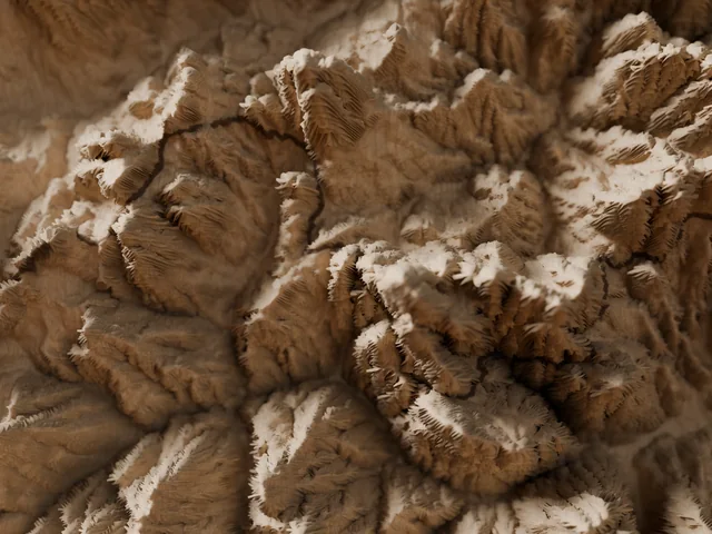
Alta Via 1 (Dolomites)
Dolomites · Braies to Belluno, Italy
125 kmD+ 7,300 m8 to 12 days
See the map →Notify me Hike · Loop
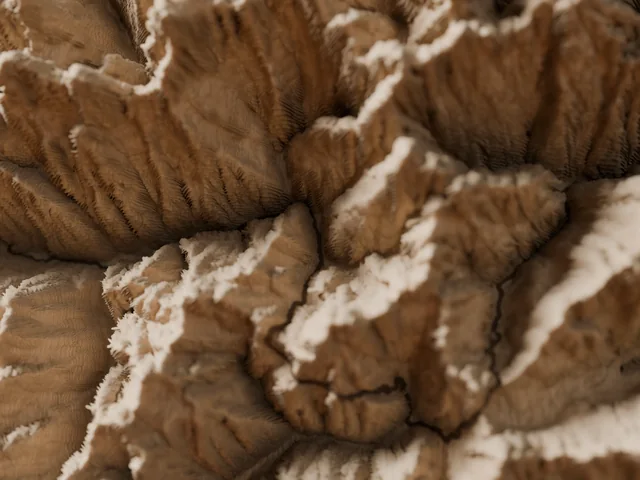
Tour of the Oisans and Écrins
Écrins · Isère, Hautes-Alpes
194 kmD+ 12,000 m11 to 14 days
See the map →Notify me Hike · Point to point
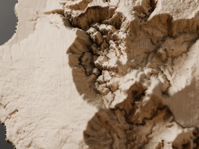
Réunion Island grand traverse
Réunion Island · Saint-Denis to Basse-Vallée
135 kmD+ 10,100 m10 to 14 days
See the map →Notify me Hike · Loop
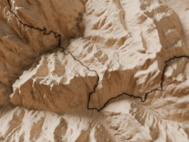
Tour of the Queyras
Queyras · Hautes-Alpes, France
113 kmD+ 7,725 m8 to 10 days
See the map →Notify me Hike · Loop
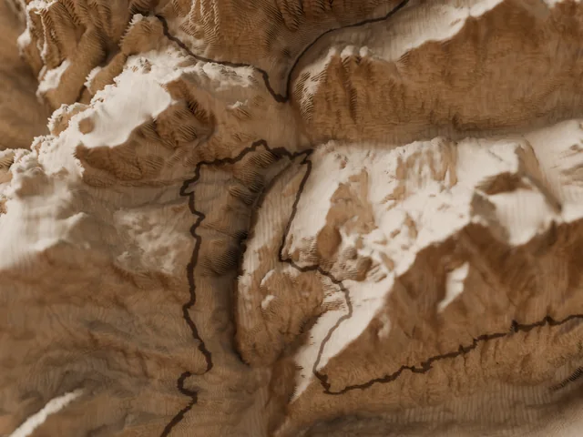
Tour of the Vanoise
Vanoise · Savoie, France
150 kmD+ 8,038 m10 to 12 days
See the map →Notify me Hike · Loop
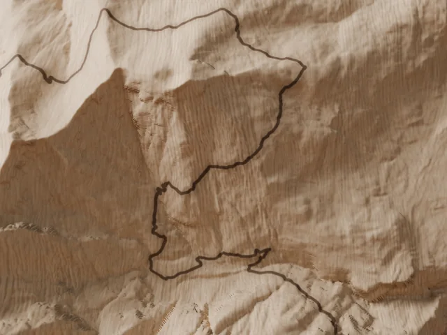
Tour of the Dents du Midi
Valais Chablais · Switzerland
45 kmD+ 3,000 m3 to 4 days
See the map →Notify me Hike · Loop
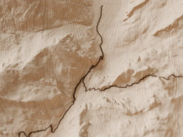
Tour of Monte Viso
Monte Viso · Piedmont, Italy and Queyras
40 kmD+ 3,000 m3 to 5 days
See the map →Notify me Hike · Loop
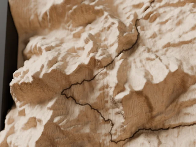
Aigüestortes hut-to-hut loop
Catalan Pyrenees · Spain
Follows the Carros de Foc route (~55 km). Independent product, not affiliated with the organiser; Carros de Foc is a trademark of its owner.
55 kmD+ 4,600 m4 to 7 days
See the map →Notify me Hike · Loop
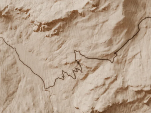
Tour of the Pic du Midi d'Ossau
Ossau valley · Pyrénées-Atlantiques, France
17 kmD+ 1,100 m1 to 2 days
See the map →Notify me Hike · Loop
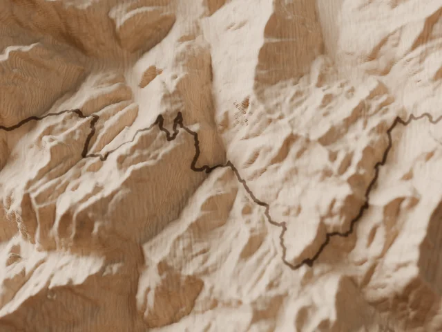
Tour of the Beaufortain
Beaufortain · Savoie, France
105 kmD+ 5,901 m5 to 7 days
See the map →Notify me Hike · Point to point
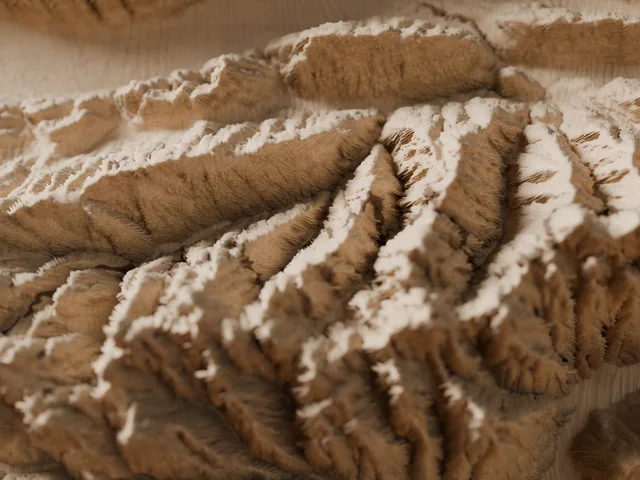
Belledonne High Traverse
Belledonne range · Savoie, Isère, France
127 kmD+ 10,000 m10 to 11 days
See the map →Notify me Hike · Loop
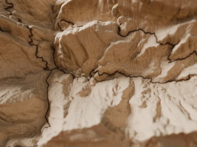
Tour of the Chartreuse
Chartreuse · Isère, Savoie, France
106 kmD+ 6,500 m6 to 7 days
See the map →Notify me Hike · Point to point
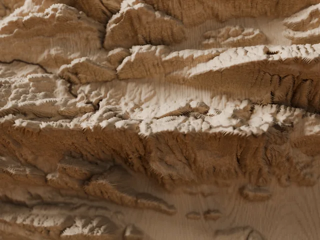
Vercors Traverse
Vercors · Saint-Nizier to Châtillon-en-Diois, France
80 kmD+ 3,042 m4 to 6 days
See the map →Notify me Hike · Loop
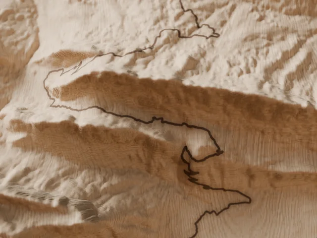
Lake Annecy circuit
Lake Annecy · Haute-Savoie, France
95 kmD+ 4,750 m6 to 7 days
See the map →Notify me Hike · Loop
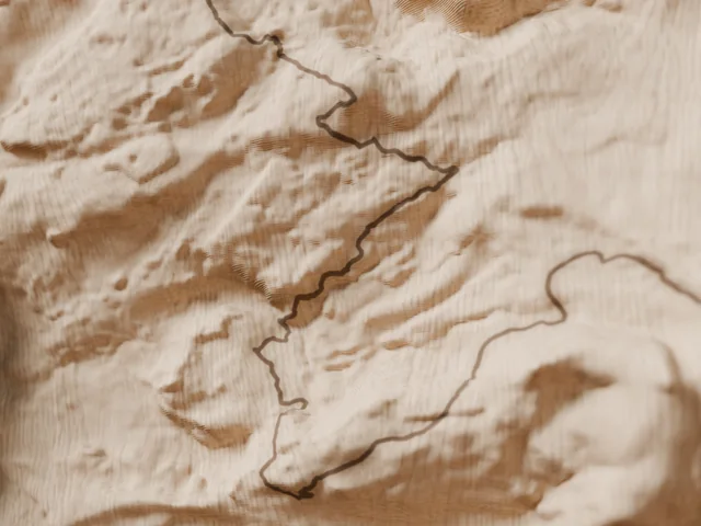
Sancy long loop
Sancy massif · Puy-de-Dôme, France
85 kmD+ 3,385 m5 to 6 days
See the map →Notify me Trail · Loop
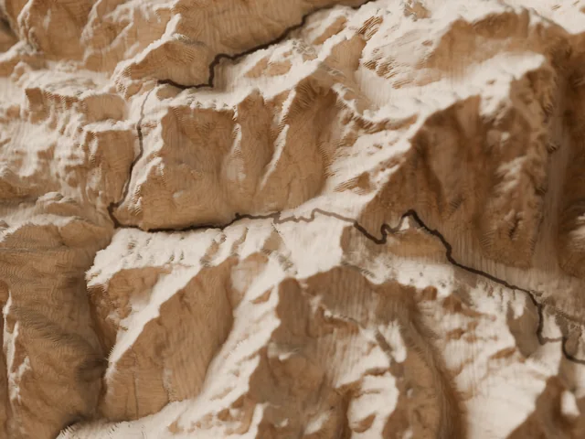
Mont Blanc loop race route, 174 km
Chamonix · France, Italy, Switzerland
Follows the UTMB® course (~174 km). Independent product, not affiliated with the organiser; UTMB® is a trademark of its owner.
174 kmD+ 9,900 m
See the map →Notify me Trail · Point to point
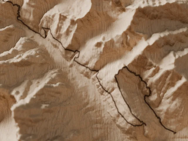
Courmayeur – Champex – Chamonix
Mont Blanc massif · Italy, Switzerland, France
Follows the CCC® course (~101 km). Independent product, not affiliated with the organiser; CCC® is a trademark of its owner.
101 kmD+ 6,050 m
See the map →Notify me Trail · Point to point
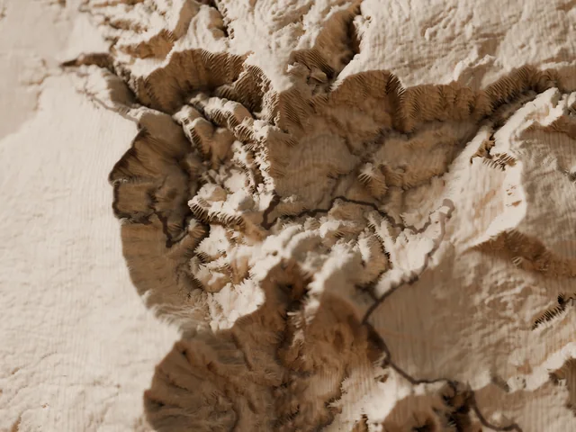
South-to-north crossing of Réunion Island
Réunion Island · France
Follows the Diagonale des Fous® course (~180 km). Independent product, not affiliated with the organiser; Diagonale des Fous® is a trademark of its owner.
180 kmD+ 10,200 m
See the map →Notify me Trail · Point to point
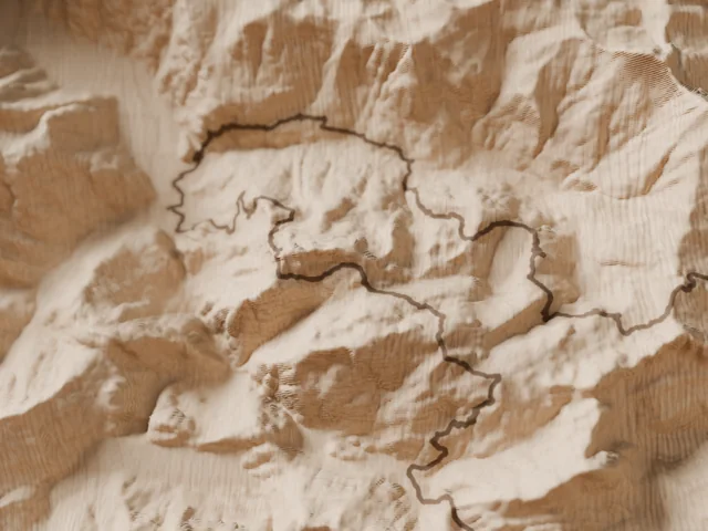
Courmayeur → Chamonix via the Beaufortain
Mont Blanc massif, Beaufortain · Italy, France
Follows the TDS® course (~145 km). Independent product, not affiliated with the organiser; TDS® is a trademark of its owner.
145 kmD+ 9,500 m
See the map →Notify me Trail · Loop
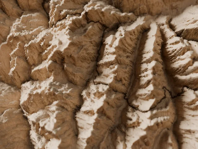
Aosta Valley high routes, 330 km
Aosta Valley · Italy
Follows the Tor des Géants® course (~330 km). Independent product, not affiliated with the organiser; Tor des Géants® is a trademark of its owner.
330 kmD+ 24,000 m
See the map →Notify me Trail · Loop
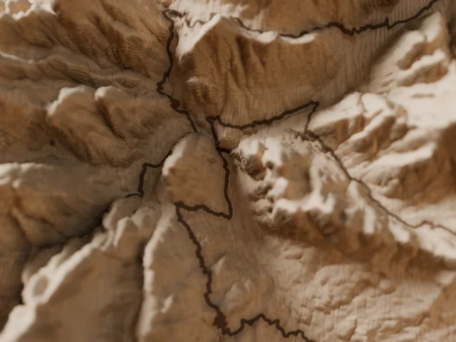
Cortina and the Tre Cime, 120 km
Dolomites · Cortina d'Ampezzo, Italy
Follows the Lavaredo Ultra Trail® course (~120 km). Independent product, not affiliated with the organiser; Lavaredo Ultra Trail® is a trademark of its owner.
120 kmD+ 5,800 m
See the map →Notify me Trail · Loop
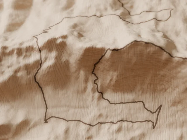
Aizkorri massif
Gipuzkoa · Basque Country, Spain
Follows the Zegama-Aizkorri® course (~42 km). Independent product, not affiliated with the organiser; Zegama-Aizkorri® is a trademark of its owner.
42 kmD+ 2,736 m
See the map →Notify me Trail · Loop
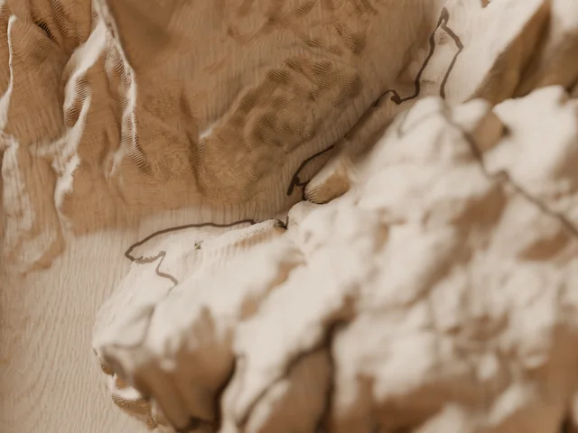
Grands Causses – Millau
Aveyron · France
Follows the Grand Trail des Templiers® course (~80 km). Independent product, not affiliated with the organiser; Grand Trail des Templiers® is a trademark of its owner.
80 kmD+ 3,500 m
See the map →Notify me Trail · Loop
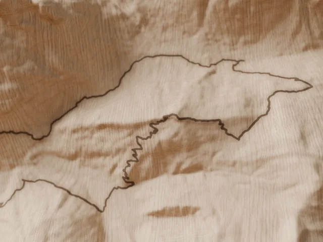
Chamonix → Planpraz, 42 km
Chamonix valley · France
Follows the Marathon du Mont-Blanc® course (~42 km). Independent product, not affiliated with the organiser; Marathon du Mont-Blanc® is a trademark of its owner.
42 kmD+ 2,540 m
See the map →Notify me Trail · Point to point
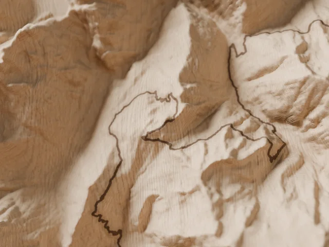
Orsières – Champex – Chamonix
Mont Blanc massif · Switzerland, France
Follows the OCC® course (~60 km). Independent product, not affiliated with the organiser; OCC® is a trademark of its owner.
60 kmD+ 3,500 m
See the map →Notify me Trail · Point to point
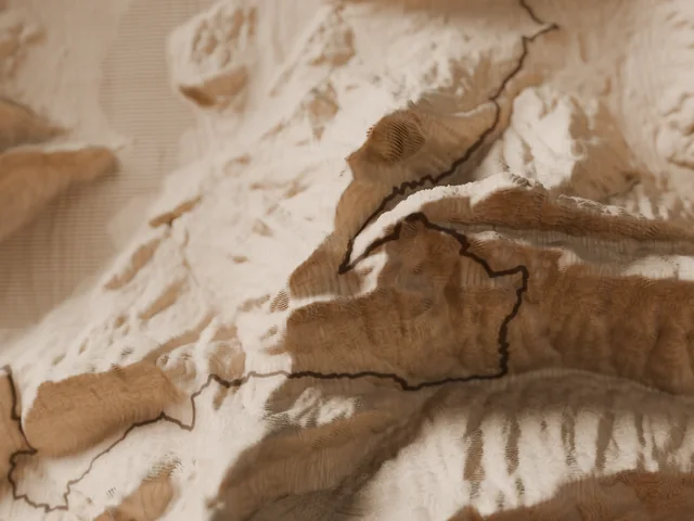
Lake Annecy ridges loop
Lake Annecy · Haute-Savoie, France
100 kmD+ 5,400 m
See the map →Notify me Trail · Loop
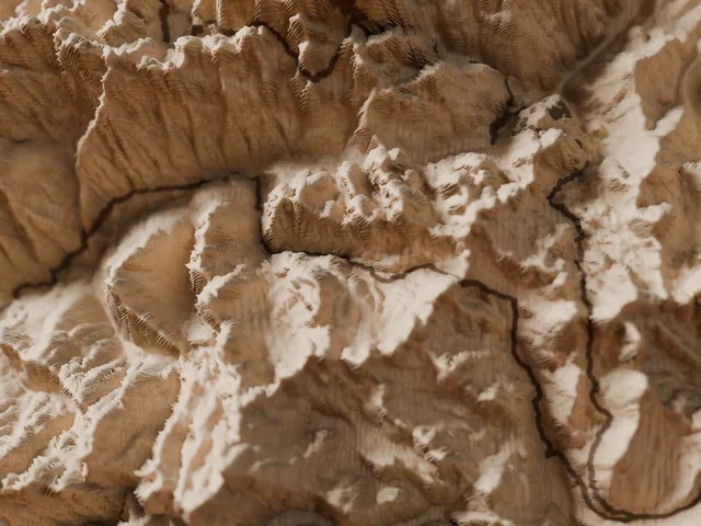
Hautes-Pyrénées loop from Vielle-Aure
Central Pyrenees · France
Follows the Grand Raid des Pyrénées® Ultra course (~174 km). Independent product, not affiliated with the organiser; Grand Raid des Pyrénées® is a trademark of its owner.
174 kmD+ 10,400 m
See the map →Notify me Trail · Point to point
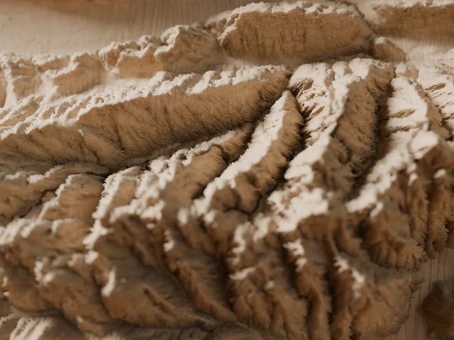
Full Belledonne traverse
Belledonne range · Isère, Savoie
Follows the course of L'Échappée Belle® – Intégrale (~150 km). Independent product, not affiliated with the organiser; L'Échappée Belle® is a trademark of its owner.
150 kmD+ 11,200 m
See the map →Notify me Trail · Loop
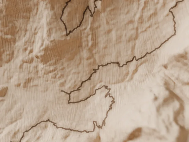
Grindelwald, beneath the Eiger
Bernese Oberland · Switzerland
Follows the Eiger Ultra Trail® E101 course (~101 km). Independent product, not affiliated with the organiser; Eiger Ultra Trail® is a trademark of its owner.
101 kmD+ 6,700 m
See the map →Notify me Trail · Loop
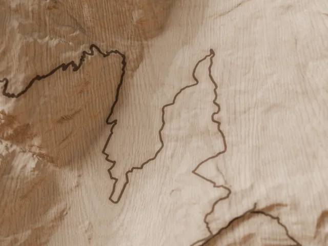
Zermatt – Gornergrat – Schwarzsee
Valais · Switzerland
49 kmD+ 3,600 m
See the map →Notify me Trail · Loop
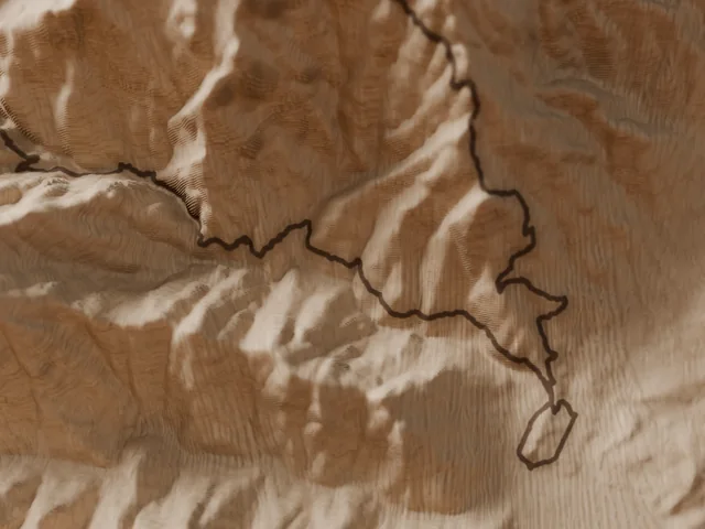
Corte and the Restonica valley
Corsica · Haute-Corse
Follows the Restonica Trail® course (~69 km). Independent product, not affiliated with the organiser; Restonica Trail® is a trademark of its owner.
69 kmD+ 4,000 m
See the map →Notify meNo route matches this search.
The “… route” titles and the line under each map cite the race descriptively, to name the itinerary the map follows: independent products, not affiliated with the organisers; the trademarks mentioned belong to their owners. Trail routes are indicative, rebuilt from their official checkpoints; hiking routes follow the waymarked trails. Routes © OpenStreetMap contributors, database under the ODbL. Terrain, depending on the country: IGN – LiDAR HD (Etalab Open Licence 2.0), swissALTI3D © swisstopo, DTM of the Regione Autonoma Valle d'Aosta, TINITALY (INGV), MDT02 © Instituto Geográfico Nacional de España (CC BY 4.0, data modified) and, outside national coverage, produced using Copernicus WorldDEM-30 © DLR e.V. 2010-2014 and © Airbus Defence and Space GmbH 2014-2018 provided under COPERNICUS by the European Union and ESA; all rights reserved. The organisations in charge of the Copernicus programme by law or by delegation do not incur any liability for any use of the Copernicus WorldDEM-30. Details and licences: data sources.
From GPX file to burned wood
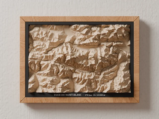
1. Framing
The route is placed on the board with a margin all around; if the route is longer than it is wide, the board is rotated to give it all the room.
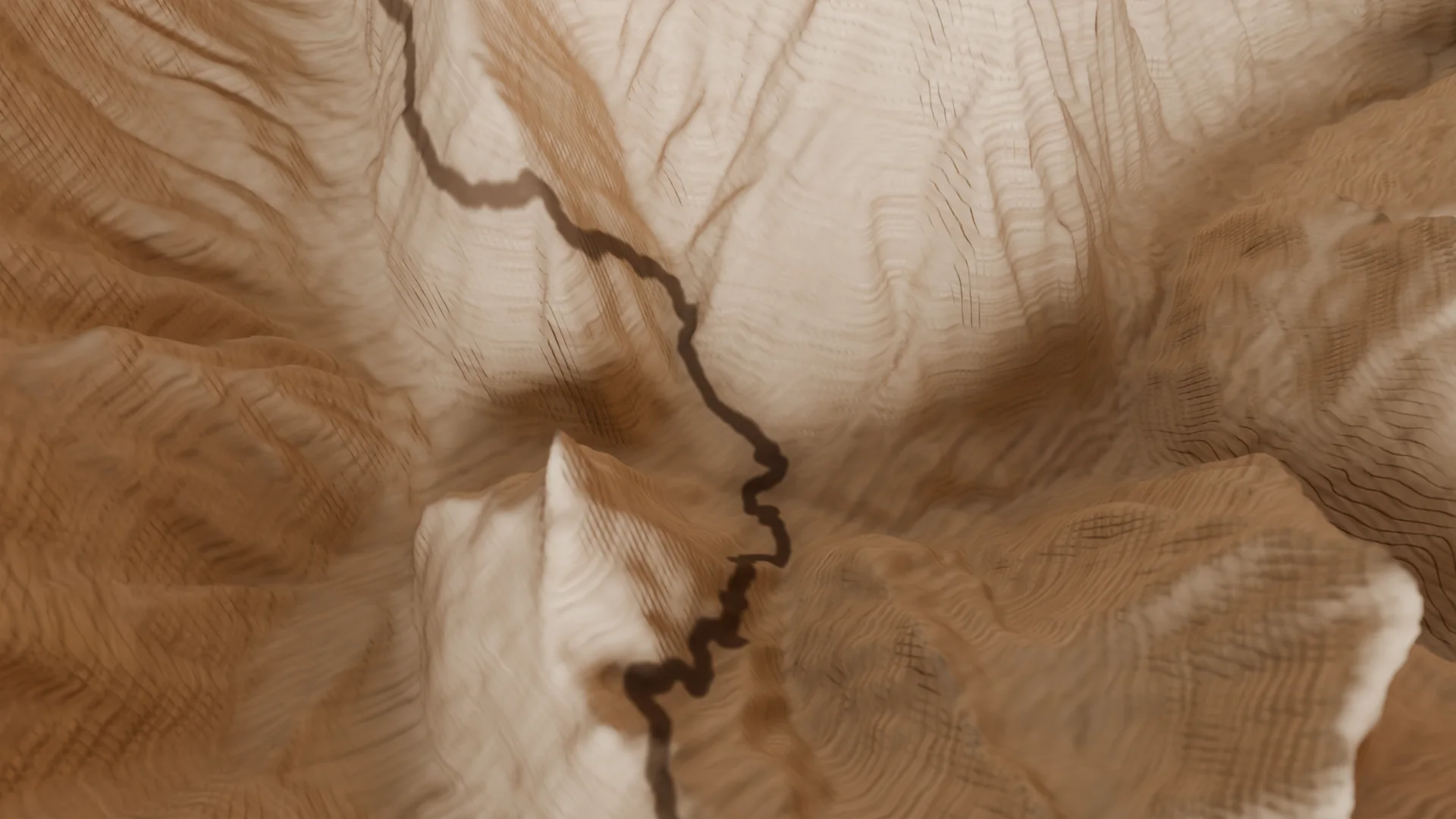
2. The relief, then the laser
The Carvera mills the relief, then its laser follows the path over the milled wood, hugging every slope: a 0.6 mm burned line from the valley floors up to the passes.
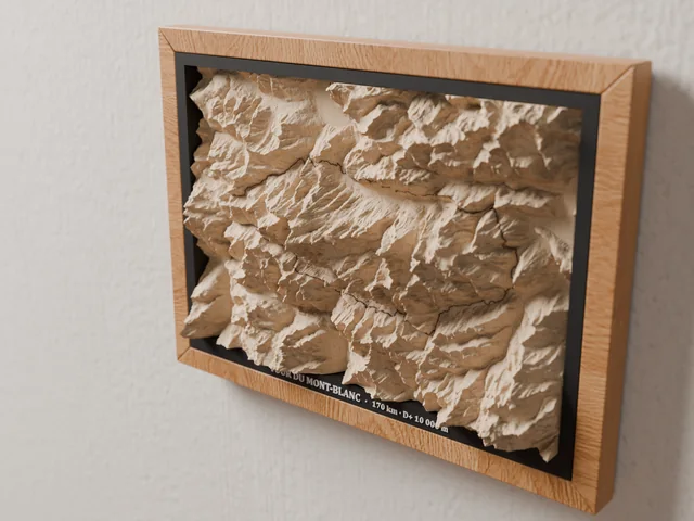
3. The frame
The block passes through a black mat and rises more than 3 cm out of the A4 frame; the route's name, distance and elevation gain are written in white below.
Before you choose
Can I change a route's map?
Yes, on request: the margin around the route, the size, the frame and the text on the mount. Just say so in your request.
Is the route accurate?
For hikes, it follows the waymarked routes as mapped in OpenStreetMap. For trails, it is rebuilt from the official checkpoints and may differ slightly from a given edition's course; you can send us the GPX file of your race instead.
How big is a map?
A 270 × 180 × 55 mm block of lime wood with up to 47 mm of relief. Framed: A4 size, 31.8 × 23.1 cm; the relief stands about 3 cm proud of the frame.
Why aren't some maps oriented north-up?
When a route is much longer than it is wide (the Haute Route, the Corsica traverse, the Alta Via 1…), the board is rotated so the route fills the whole wood instead of a narrow strip in the middle. On request, we keep north at the top.
Visuals: 3D renders made from each map's machining and engraving programs.