Home › Wooden maps › World maps

World maps

Summits and islands of the world, carved in wood

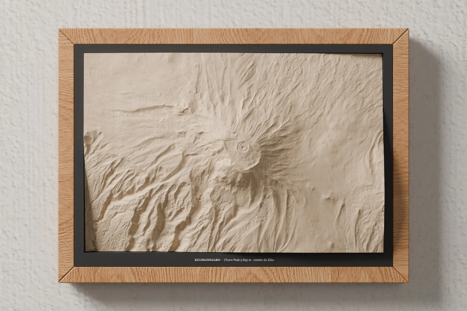
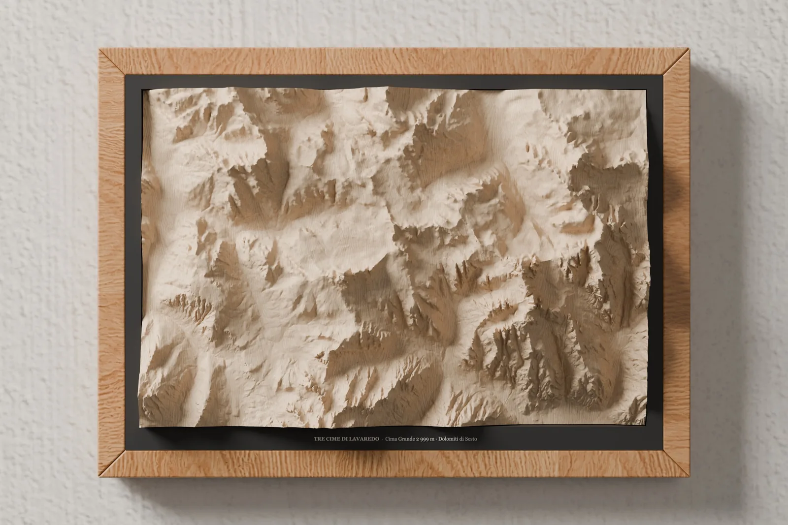
Kilimanjaro, Everest, Mount Fuji, the Dolomites, Santorini… Some of the most loved places, cut from the same block of solid lime wood as our Alpine maps, using open survey data from around the world.

Craftsmanship

From open data to wood

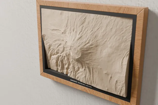
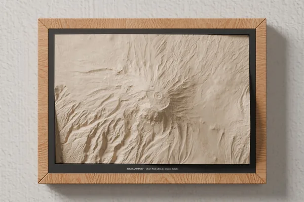
Kilimanjaro and the Kibo crater carved in lime wood, seen from an angle in the A4 frame

1. The world's surveys

Copernicus models for large relief, open national surveys where they exist (TINITALY in Italy, IGN and Shom for Corsica) and EMODnet for European seabeds.

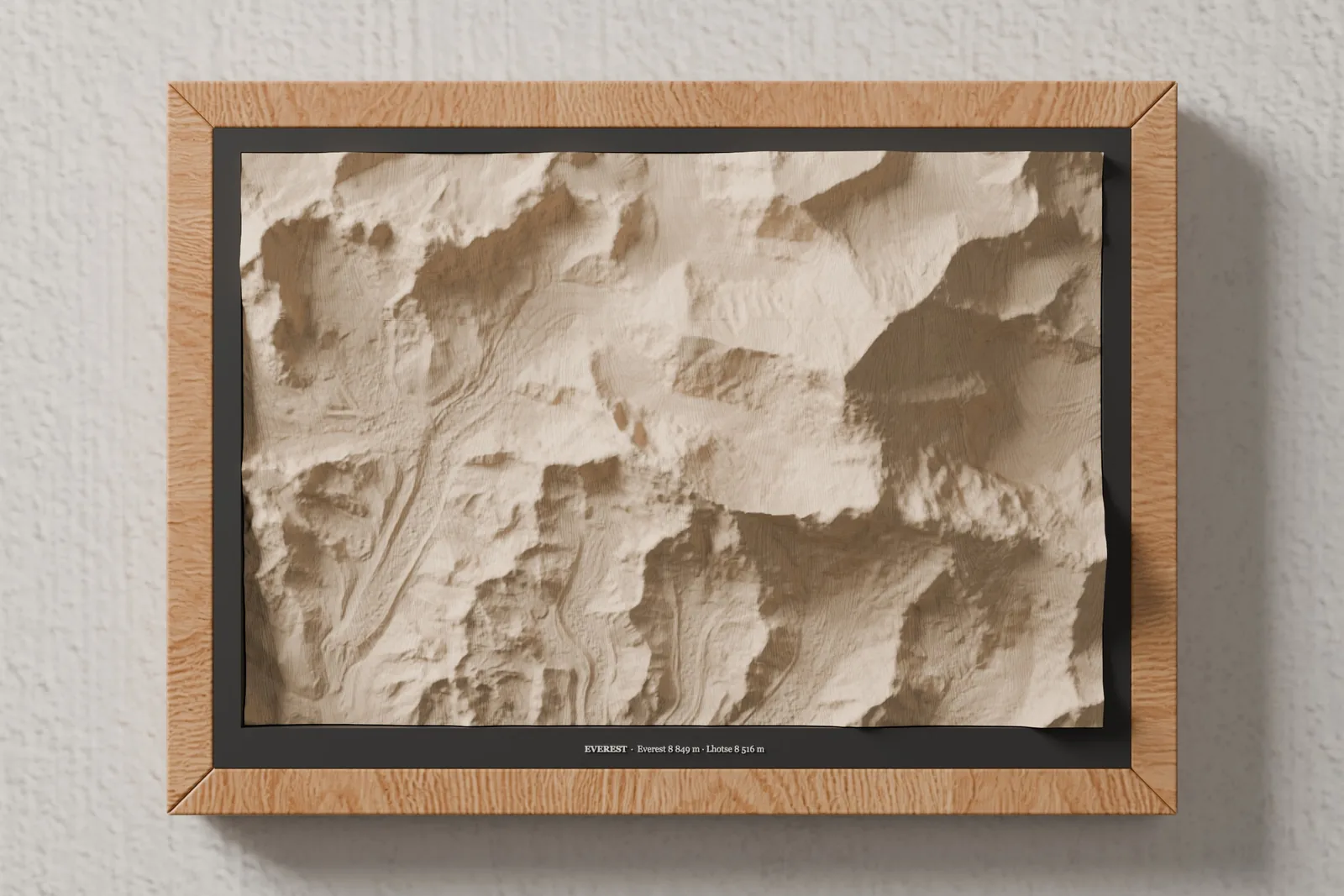
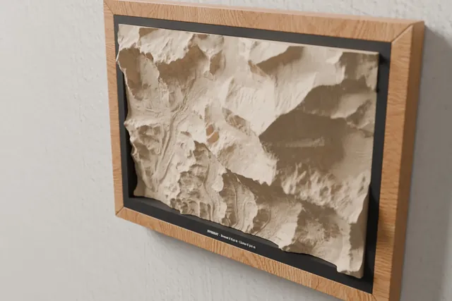
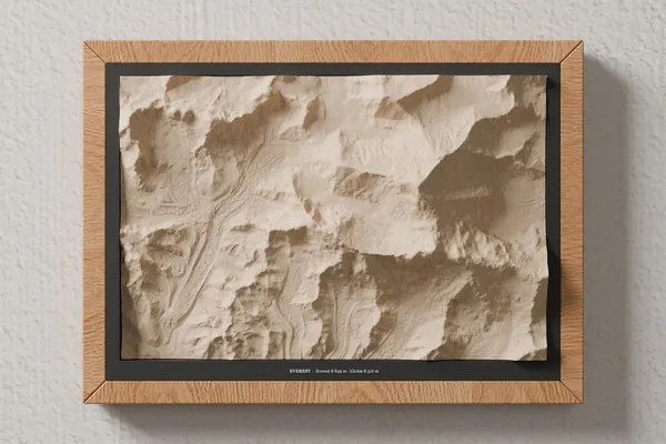
Everest and Lhotse carved in lime wood, seen from an angle in the A4 frame

2. Relief you can read

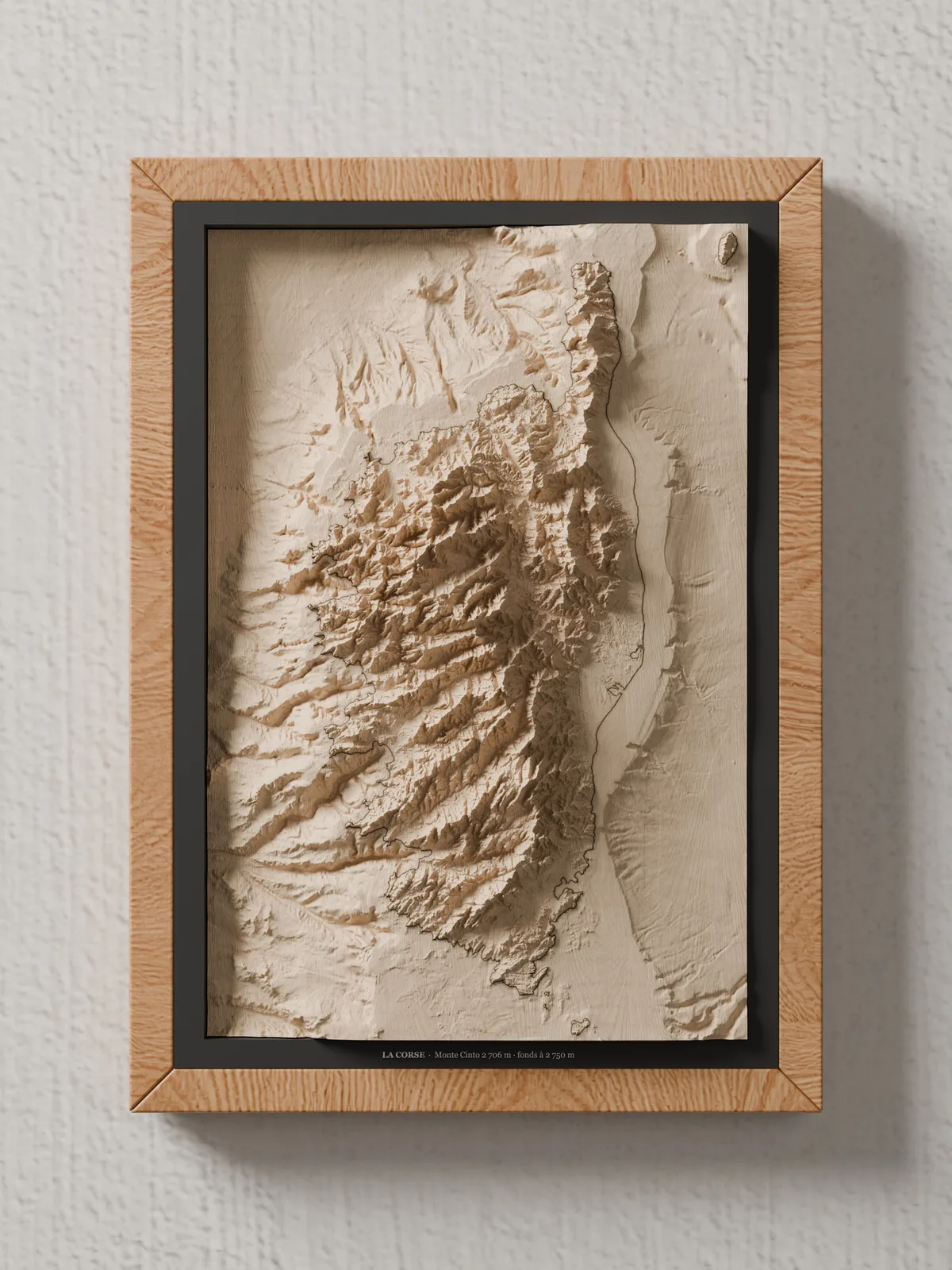
The relief is scaled to the block: compressed for Everest, stretched more than six times for Corsica, so that every map reads at a glance and in raking light.

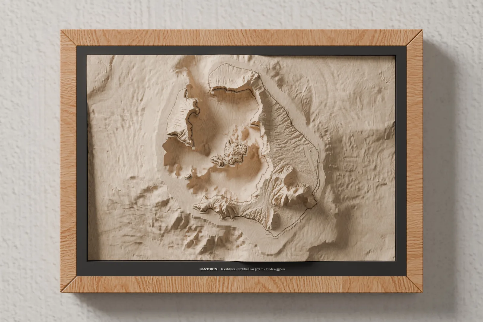
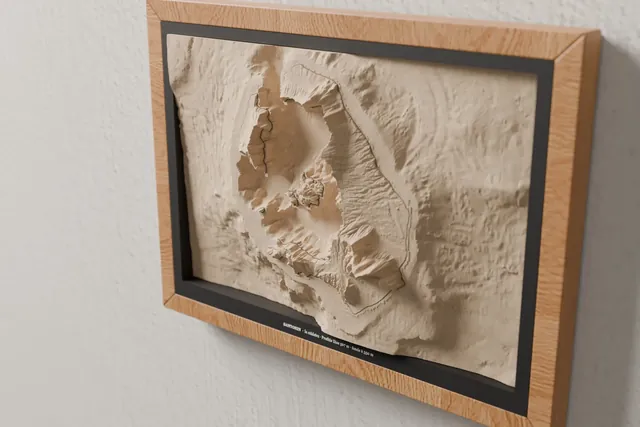
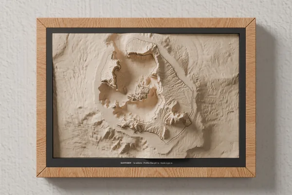
The Santorini caldera carved in lime wood, its shoreline laser-engraved

3. The shoreline by laser

On islands, a single laser-engraved line separates land from sea, as on our French island maps; the map is then framed in A4.

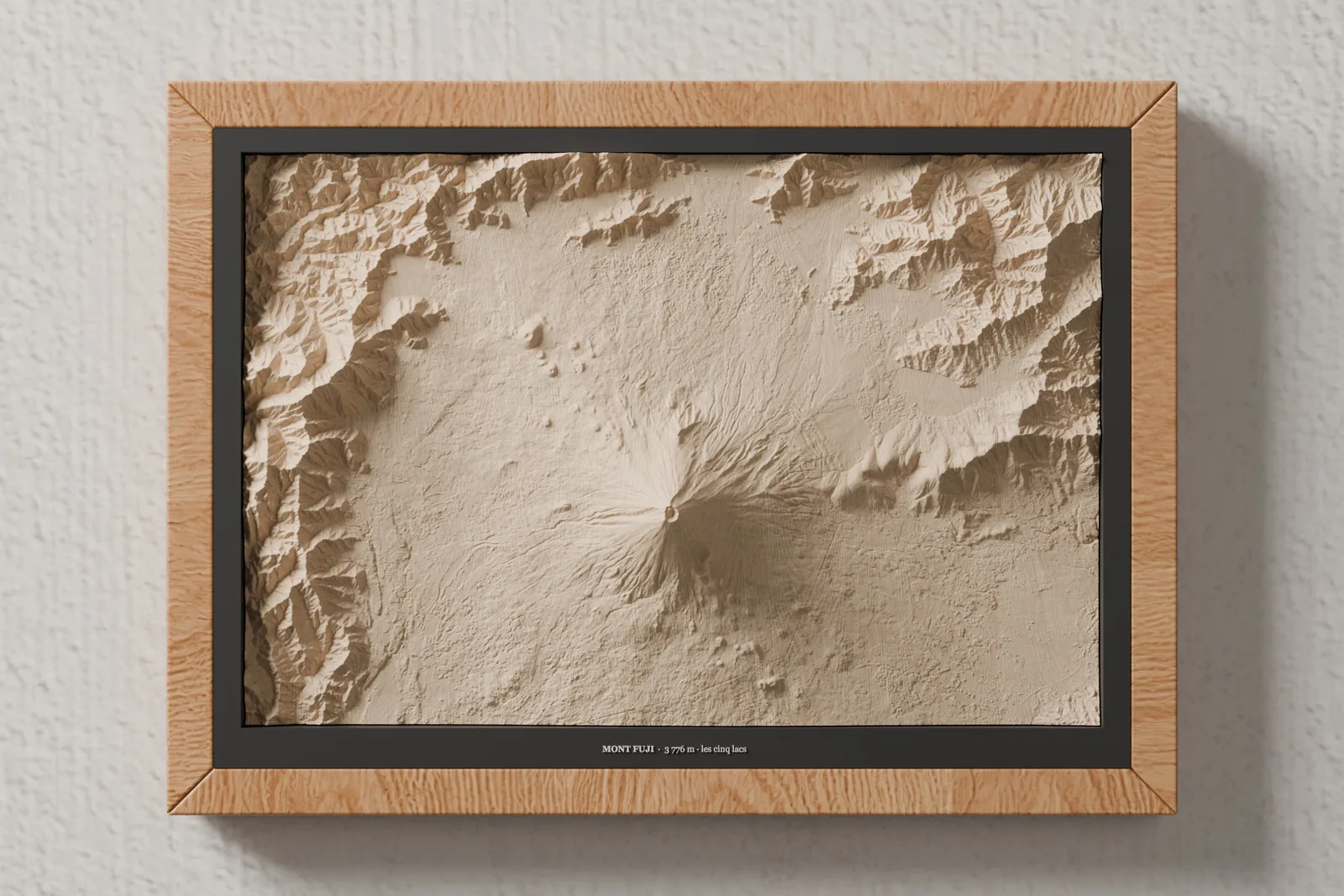
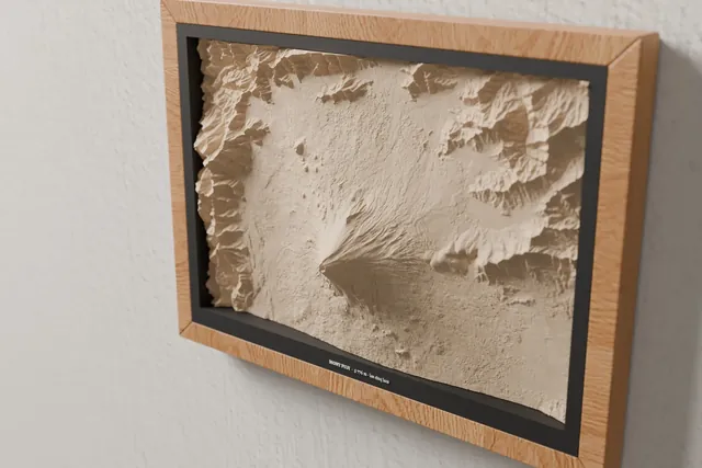
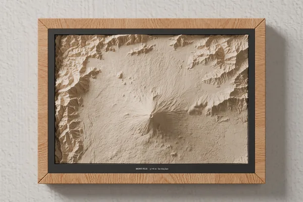
Mount Fuji and its lakes carved in lime wood, seen from an angle in the A4 frame
Sur demande

Your place isn't on the list?

A climb, a honeymoon, the island where you were born: tell us which. We check that its data exists under a licence that allows selling it, then we suggest a framing.

Questions

Before you ask

Why "on request"?

These maps are prototypes: they aren't in the catalogue yet. Tell us the place you are interested in and we will reply with the price and production lead time.

How big is a map?

The same as our mountain maps: a 270 × 180 mm block of lime wood, 55 mm thick, in an A4 frame.

Where does the data come from?

From digital elevation and seabed models published under licences that allow selling derived objects, with credit to their producers: the full list is just below.

Is the relief accurate?

Valleys, ridges and coastlines are in their real places. Height, however, is scaled to the block: on an island several hundred kilometres across, true-scale relief would be almost flat.

Data sources

Credits and licences

  • Corsica — SHOM,2015. MNT Bathymétrique de façade de la Corse (Projet Homonim). http://dx.doi.org/10.17183/MNT_MED100m_CORSE_HOMONIM_WGS84.
    Licence: Etalab Open Licence · etalab.gouv.fr
  • Corsica — © IGN – RGE ALTI® (Géoplateforme).
    Licence: Etalab Open Licence 2.0 · etalab.gouv.fr
  • Corsica, Dolomites – Tre Cime di Lavaredo — Tarquini S., I. Isola, M. Favalli, A. Battistini, G. Dotta (2023). TINITALY, a digital elevation model of Italy with a 10 meters cell size (Version 1.1). INGV. https://doi.org/10.13127/tinitaly/1.1.
    Licence: CC BY 4.0 · creativecommons.org/licenses/by/4.0 · data modified
  • Kilimanjaro, Mount Everest, Mount Fuji, Santorini — produced using Copernicus WorldDEM-30 © DLR e.V. 2010-2014 and © Airbus Defence and Space GmbH 2014-2018 provided under COPERNICUS by the European Union and ESA; all rights reserved. The organisations in charge of the Copernicus programme by law or by delegation do not incur any liability for any use of the Copernicus WorldDEM-30.
    Licence: Copernicus DEM GLO-30 licence (free, attribution + disclaimer 6(c)) · Copernicus DEM licence
  • Santorini — This data product was created by EMODnet (https://emodnet.ec.europa.eu/en/) and is owned by the EU and licensed under the Creative Commons Attribution 4.0 International (CC BY 4.0) license. EMODnet Bathymetry Consortium (2024): EMODnet Digital Bathymetry (DTM 2024). https://doi.org/10.12770/cf51df64-56f9-4a99-b1aa-36b8d7b743a1.
    Licence: CC BY 4.0 · creativecommons.org/licenses/by/4.0 · data modified

Data modified: relief resampled to the size of the block, vertically scaled (×0.8 to ×6.6 depending on the map) and smoothed. These maps are decorative objects: they must not be used for navigation. No data producer endorses our products. All our sources: data sources.

Your Cart

Your cart is empty

Browse the shop