
Interested in this map?
Santorini
Leave your email and we'll let you know as soon as it's available.
Your address is only used to tell you when this map is available: it is never shared or added to the newsletter, and you can ask for it to be deleted at any time. Privacy policy
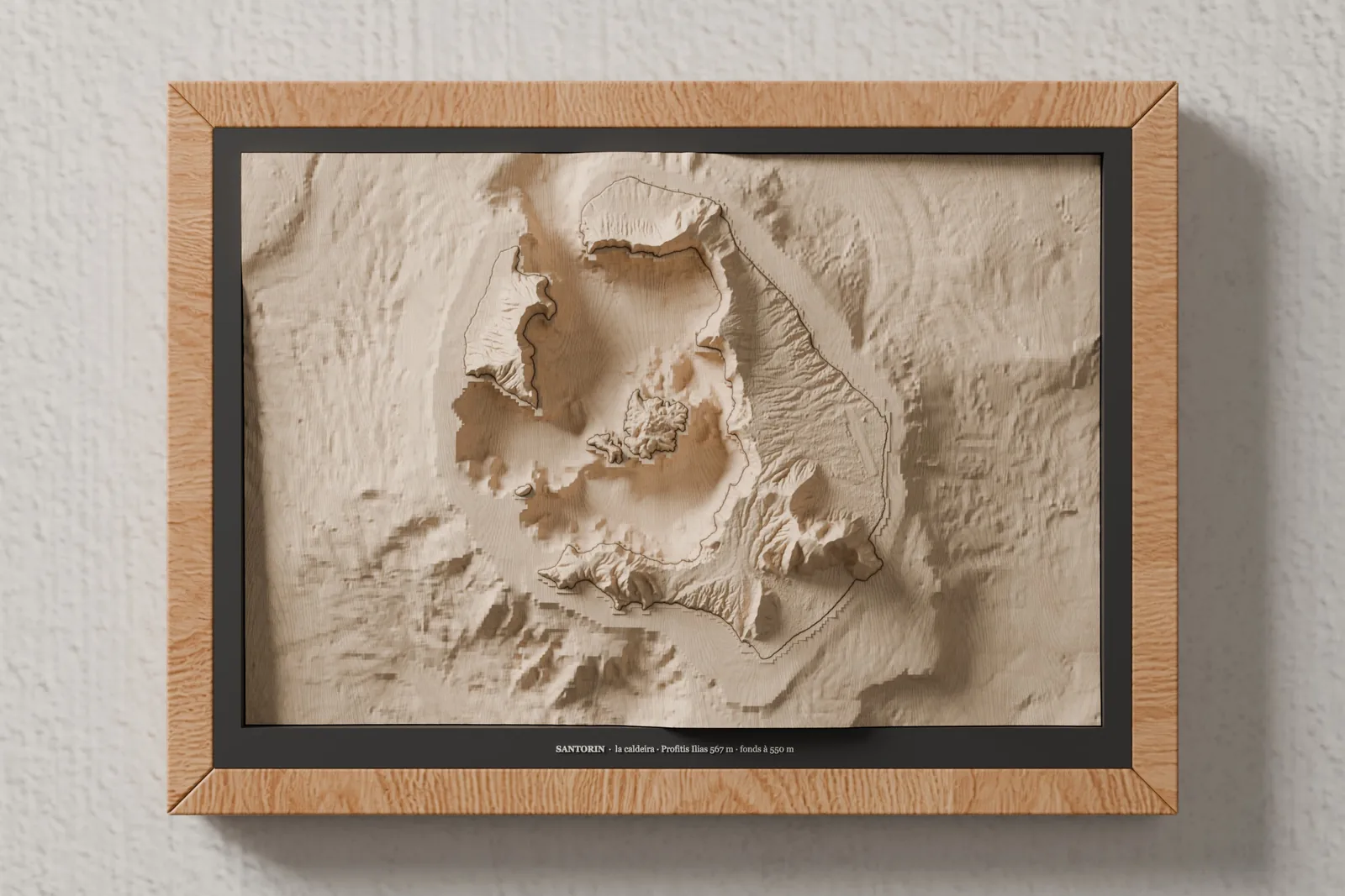
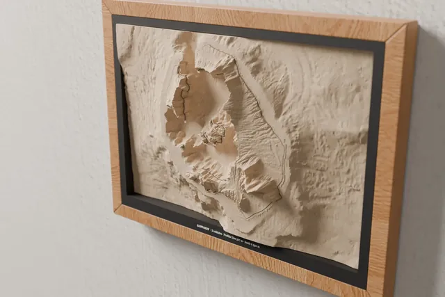
Santorini in relief: a 27 × 18 cm map carved from a solid block of lime wood after open topographic surveys — the caldera · Profitis Ilias 567 m · seabed down to 550 m. The seabed is carved in one piece with the island, and a single laser-engraved line draws the shoreline. This is one of our first prototypes: the map is made on request in our workshop in Haute-Savoie, in an A4 frame. SPECIFICATIONS • Map: solid lime-wood block, 270 × 180 × 55 mm, relief up to 47 mm • Terrain: 30 × 20 km • Relief: scaled to the block (×4.69) • Frame: A4 size (31.8 × 23.1 cm), no glass • Data: produced using Copernicus WorldDEM-30 © DLR e.V. 2010-2014 and © Airbus Defence and Space GmbH 2014-2018 provided under COPERNICUS by the European Union and ESA; all rights reserved ; This data product was created by EMODnet (https://emodnet.ec.europa.eu/en/) and is owned by the EU and licensed under the Creative Commons Attribution 4.0 International (CC BY 4.0) license. EMODnet Bathymetry Consortium (2024): EMODnet Digital Bathymetry (DTM 2024). https://doi.org/10.12770/cf51df64-56f9-4a99-b1aa-36b8d7b743a1 • Made: in our workshop in Thônes, Haute-Savoie, on request • Images: 3D renders computed from the map's machining program CARE Dust with a soft brush · Keep out of direct sunlight and humidity · Hang on an indoor wall
Data sources
Citing these producers does not imply that they endorse our products. All sources and licences
Search for your summit on the map, adjust the framing and the relief, and see the lamp lit up before you even order. What you approve on screen is what the workshop makes.
89 € TTC · socle bois inclus
Design my lamp Or see every summit on the map
